Posted by: sunnyharvy | June 17, 2014

Waterfall Hikes… in the Desert?

Route 12 continued to deliver delights. Shortly after leaving the primary area of Bryce, we stopped to hike the Mossy Cave Trail. Besides leading to a damp cave, this short, easy trail highlights the only waterfall in the area that runs all year. It is fed by seeps and augmented by a 10-mile canal hand dug by Mormons that settled here around 1890.

MossyCaveHike0617

MossyCaveHike0632

MossyCaveHike0650

MossyCaveHike0651

A couple of days later, while camped at Calf Creek, we had the opportunity to hike to another, taller waterfall. This hike took considerably more effort since it was three miles in each direction over soft sand and under hot sun. We packed lunch and plenty of water.

CalfCreekLowerFalls0698

CalfCreekLowerFalls0710

CalfCreekLowerFalls0719

Lots of wildflowers along the path

CalfCreekLowerFalls0724

Finally a glimpse…

CalfCreekLowerFalls0729

Getting closer…

CalfCreekLowerFalls0747

Lovely, isn’t it?

CalfCreekLowerFalls0749

Getting silly on the hike back to camp.

Calf Creek 3 -2

Panoramic of Calf Creek.


Posted by: sunnyharvy | June 17, 2014

Bryce Canyon Tour Continued

The information provided by the tour guide on our afternoon shuttle bus deepened our appreciation of the uniqueness that Bryce Canyon presents.

RainbowPoint0510

Rainbow Point

AguaCanyon0538

AguaCanyon0536

Agua Canyon

NaturalBridge0540

Natural Bridge

Fairyland0595

Fairlyand

We also did a lot of exploring on our own as we hiked along the rim in the morning and evenings.

SunrisePoint0603

Sunrise Point

Bryce 24 - Sunrise Pt - All3

Photo above and two below are panos by Al. Click to view larger.

Bryce 9 -  Sunset Pt -All2P

Bryce 8 -  Sunset Pt -All4P

SunsetPoint0384

Sunset Point under an almost full moon.

Posted by: sunnyharvy | June 17, 2014

Solo Morning Hike in Bryce

On our second day in Bryce Canyon, I got up before sunrise and after a quick breakfast headed out to hike the Navajo Loop Trail down into the canyon and back. Al’s acrophobia, as well as his preference to sleep in late, meant that I proceeded solo. Once I left the busload of Asians on the rim, I was pretty much alone with the awesome wonders of nature.

NavajoLoop0406

NavajoLoop0420
NavajoLoop0412

NavajoLoop0416

NavajoLoop0430

NavajoLoop0443

NavajoLoop0452

NavajoLoop0458

NOW they tell me, after I’m three quarters of the way through the hike!

NavajoLoop0464

Posted by: sunnyharvy | June 17, 2014

Here, There and Everywhere (without Internet Access)

We haven’t had reliable Internet access for over a week, so I’ve got some catching up to do here. Hope it’s not too overwhelming for my followers.

At Panguitch Lake, Utah we snagged a campsite with an expansive view and then headed out to explore the area. In what appeared to be the original settlement area, I came across this old homestead.

PanguitchLake0211Gray

PanguitchLake0204Gray

PanguitchLake0202Gray

PanguitchLake0210Gray

Back at the campground we enjoyed some leisure time, hiked around a bit, and had a lively conversation with the extremely friendly and helpful camp host couple.

PanguitchLake0214

Soon after embarking on Scenic Route 12, which begins just east of Panguitch, we entered Red Canyon, where we camped for one night. To promote tourism in the 1920’s engineers carved tunnels through the rock so cars could drive through on the way to Bryce. We hiked up the Tunnel Trail to get a good look at them as well as some of the other outstanding rock formations.

RedCanyon0239

RedCanyon0236

RedCanyon0233

RedCanyon0219

RedCanyon0253

Then we were off to Bryce Canyon where the extravagantly eroded hillside at the edge of the high Paunsaugunt Plateau presents thousands of delicate pinnacles in beautiful shades of orange, pink and white. I thought I would be tired of looking at a bunch of rocks by now, but the geologic variety has kept things interesting. Hope you agree…

After viewing the informative video at the Visitor Center we boarded the Shuttle Bus for a ride to Bryce Point.

BrycePoint0275

Almost unbelievable, right?

BrycePoint0276

BrycePoint0299

BrycePoint0313

BrycePoint0314

Bryce 1 - Bryce Pt - 2La

Above panoramic by Al – click to see larger.

Back on the shuttle to Inspiration Point and then a hike along the rim of the amphitheater (Bryce is technically not a canyon) to our site at Sunset Campground.

InspirationPoint0346

InspirationPoint0349

Bryce 5 - Inspiration Pt -L2

Above panoramic by Al – click to see larger.

InspirationPoint0370

Lee’s Ferry, AZ is a historic area where a ferry previously crossed the Colorado River just north of where it enters the Grand Canyon and becomes uncross-able for the next 277 miles.

LeesFerry0054

LeesFerry0059

 Old equipment from days when they tried to mine gold here.

LeesFerry0057

Picture window

LeesFerry0053

LeesFerry0070

All the raft trips through the Grand Canyon begin here. This crew was getting ready to depart the next morning.

LeesFerry0050

LeesFerry0044

We had hoped to paddle our kayaks up the stretch north of here towards the Glen Canyon Dam, but 100 degree temperatures prevented any sort of activity beyond sitting in the shade until after sunset when we took a little walk around. The forecast called for more of the same, so we departed for higher altitudes the next morning.

NavajoBridge0038

Nearby Navajo Bridge over the Colorado.

ColoradoFromNavajoBridge0019

We spent the afternoon driving around a more remote area of Zion National Park at the Kolob Canyons, which we thought looked a bit like a red rock version of Yosemite Valley.

KolobCanyonsZion0092

KolobCanyonsZion0097

KolobCanyonsZion0111

KolobCanyonsZion0112

KolobCanyonsZion0120

Our next stop, Cedar Breaks National Monument, at 10,200-feet provided the relief we were after with high temperatures in the low 70’s. It also offered ample scenery, both dramatic and serene.

CedarBreaks0128

CedarBreaks0139

Relaxing at the camp site.

CedarBreaks0145

CedarBreaks0153

CedarBreaks0161

CedarBreaks0162

CedarBreaks0130

Here’s a couple more of Al’s panoramics. Reminder: click on to see at larger size.

Cedar Breaks 6 - All4

Cedar Breaks 4 - All3

Posted by: sunnyharvy | June 6, 2014

Grand Canyon – North Rim

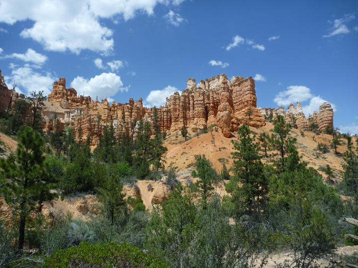
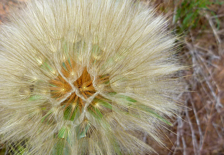
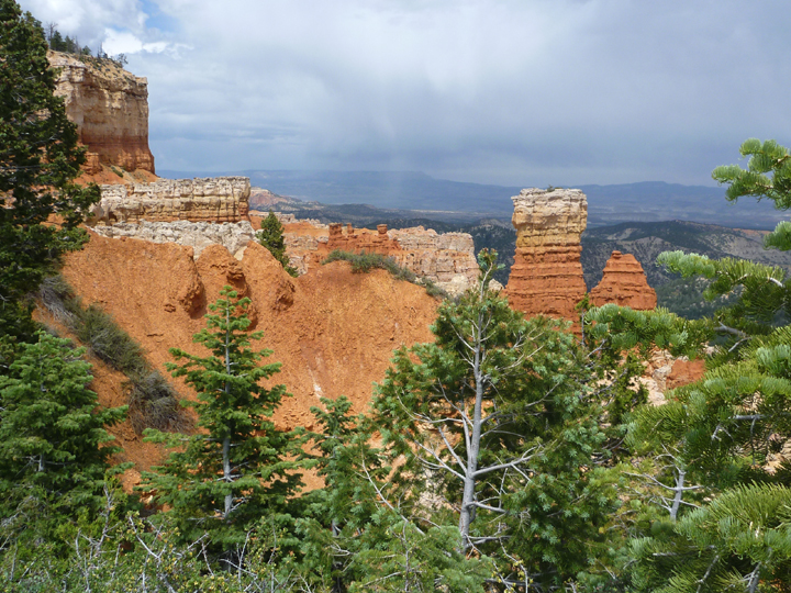
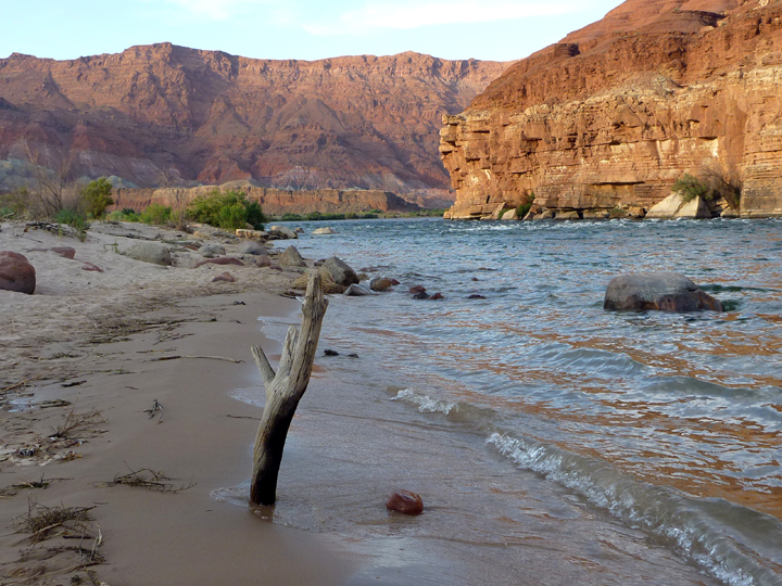
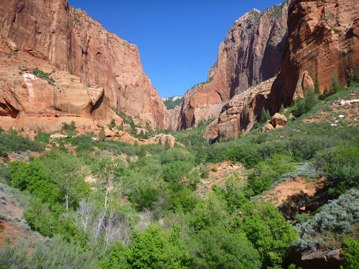
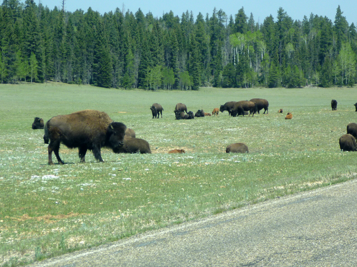
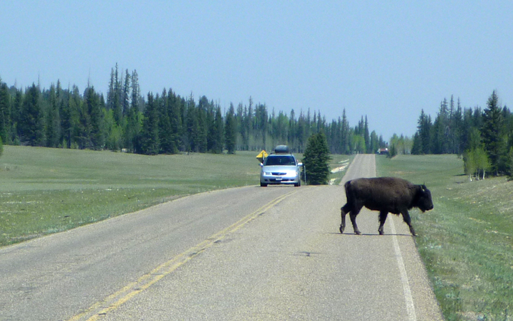
Spectacular weather rewarded us for delaying our visit to the North Rim. The drive out to this less-visited part of Grand Canyon National Park is spectacular. The steep and curvy road flows from the desert floor up to and through forests of Ponderosa Pines and expansive highland meadows. We even had to slow down for a herd of buffalo who couldn’t decide which side of the road they preferred.

NorthRim0996

NorthRim0995

There is only one relatively small campground at the North Rim and all the sites can be reserved months in advance, which we were unable to do since we did not know exactly when we would visit. The nearest options are quite a few miles outside of the park entrance, but we decided to go directly to the rim anyway.

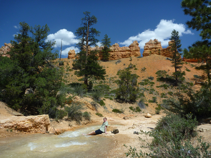
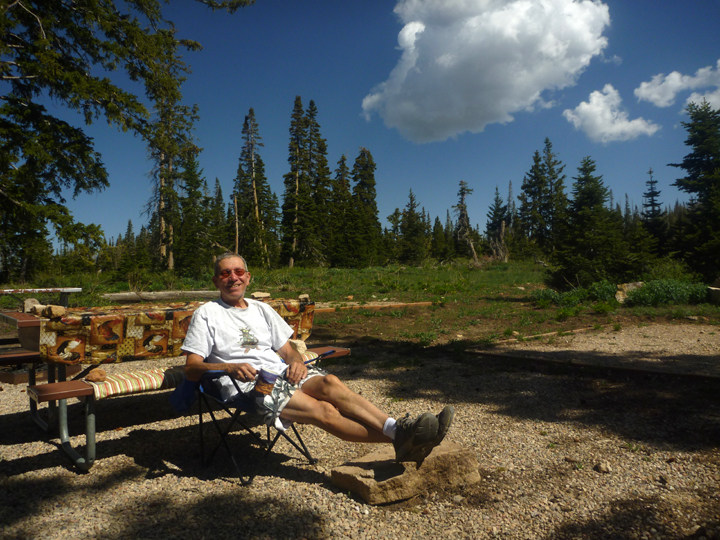
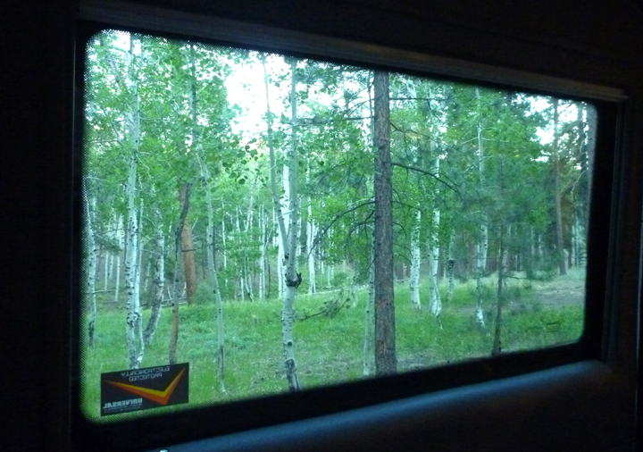
We boldly drove past the registration kiosk directly into the campground to see if we could find someone willing to share their site. The first person I asked was taken aback and not willing, but we got lucky with the next gentleman, Mike from Sarasota, Florida, who was tent camping alone (in one of the most beautiful sites in the campground, I might add). He had three nights booked , which worked out well for us. We had Mike over for dinner one night to express our gratitude, which he seemed to appreciate. Thank you again, Mike! We thoroughly enjoyed the White Aspen grove, starry sky, and bird songs.

NorthRim0773

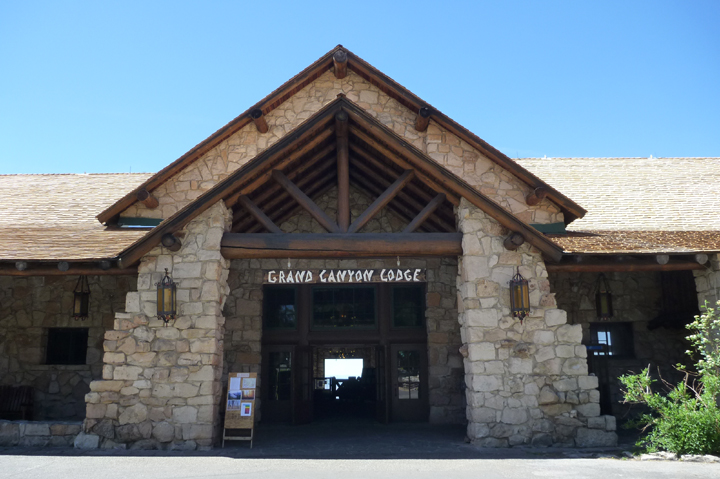
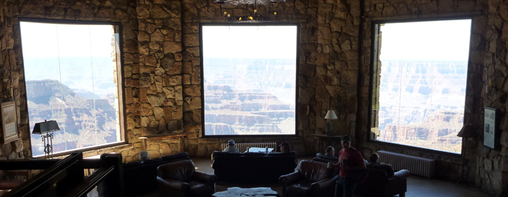
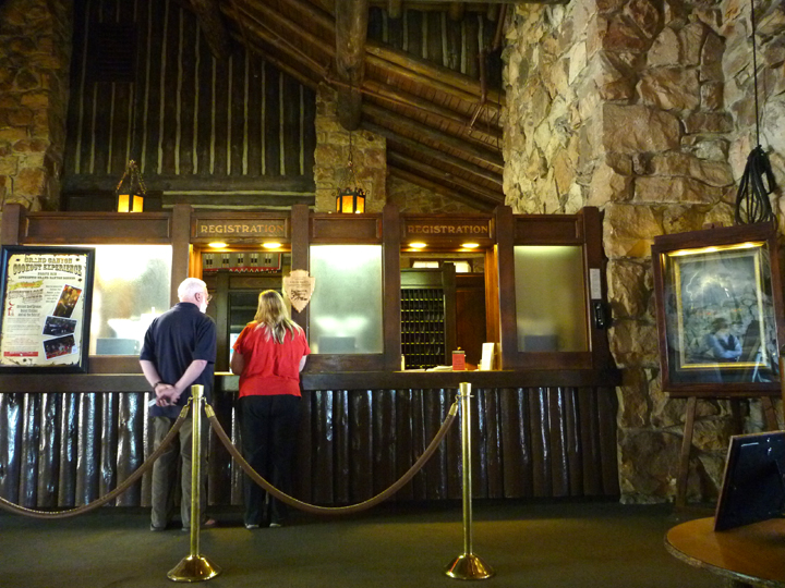
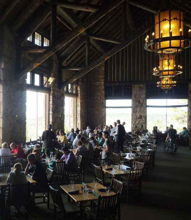
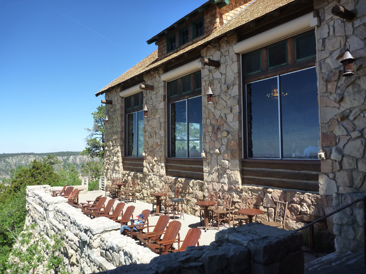
The staff at the historic Grand Canyon Lodge greet all visitors warmly, whether you are staying there or not. Everyone is welcome to dine in the restaurant, enjoy a drink on the terrace, or just enjoy the view from the lounge.

NorthRim0980

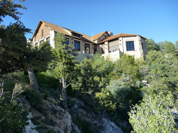
When the Grand Canyon Lodge was rebuilt in the 30’s, after burning down a few years earlier, the architects took full advantage of the building’s perch right on the rim. You can see straight through the entrance doors out to the canyon beyond the windows on the far wall.

NorthRim0983

NorthRim0986

NorthRim0822

NorthRim0990

NorthRim0769

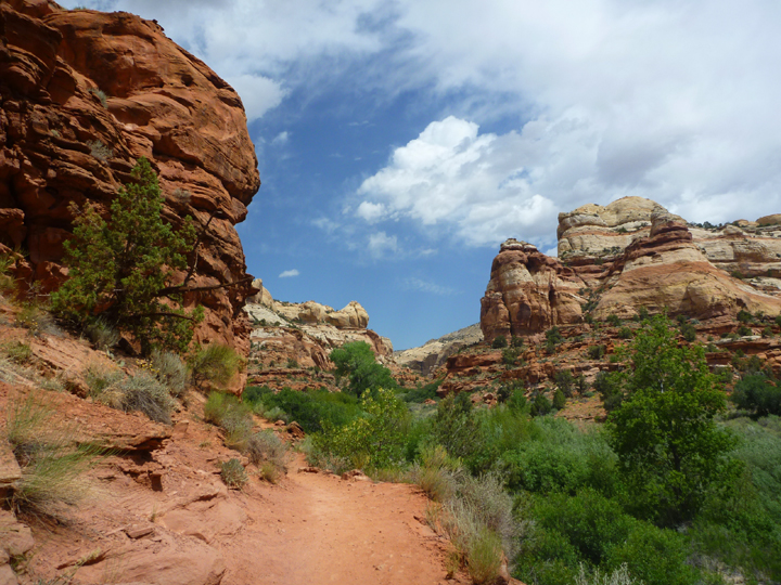
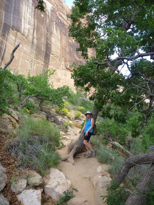
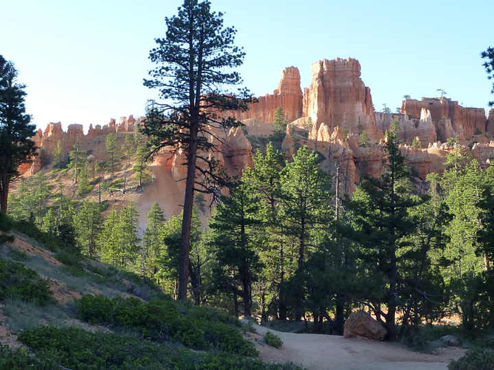
We rode our bikes along the rim trail to the lodge and visitor center one evening and hiked another couple of trails the next morning.

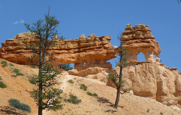
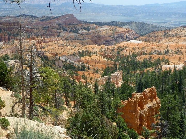
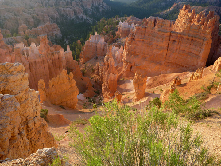
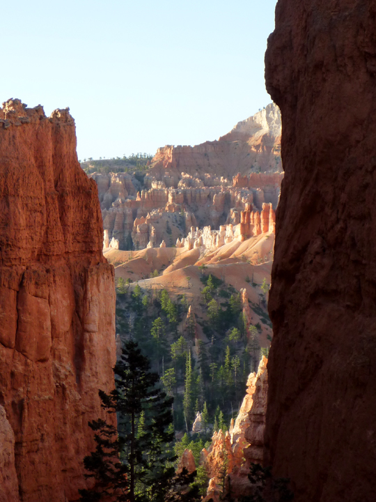
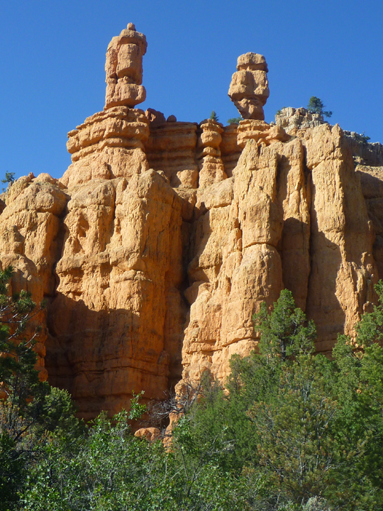
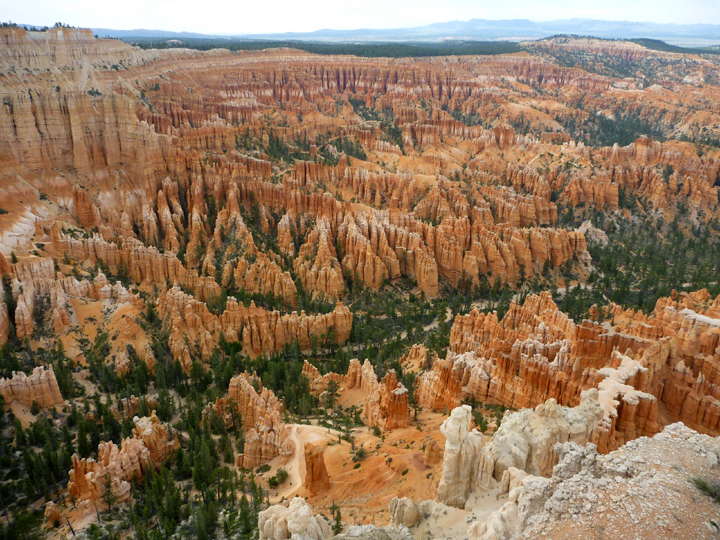
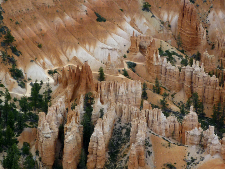
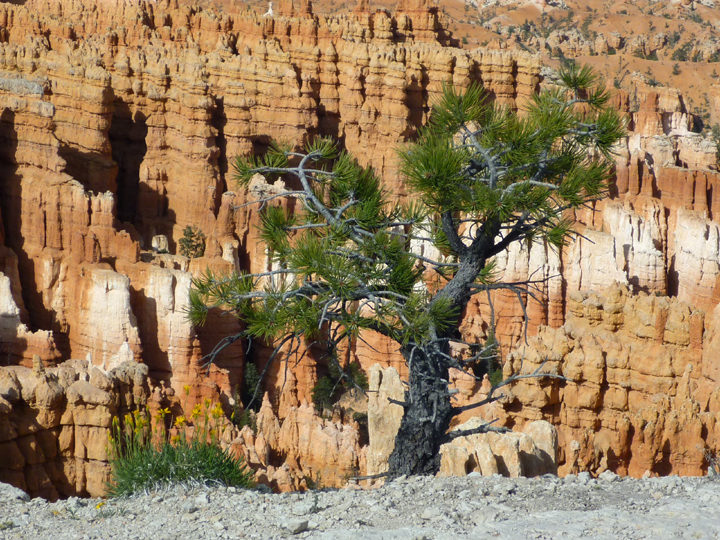
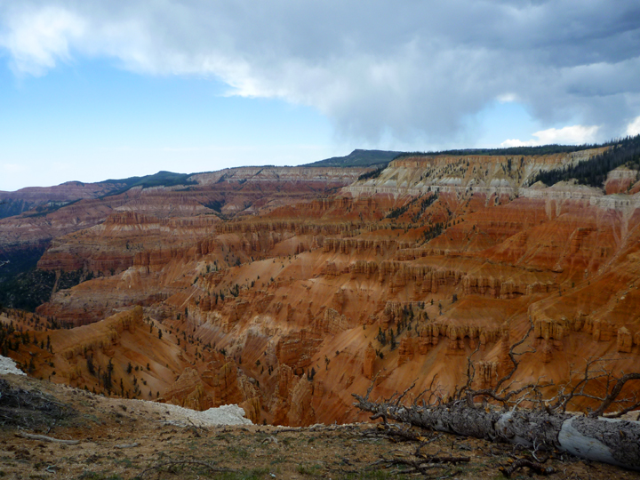
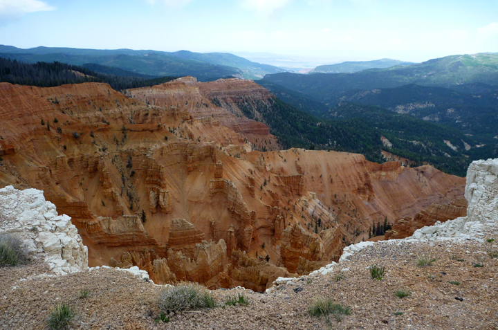
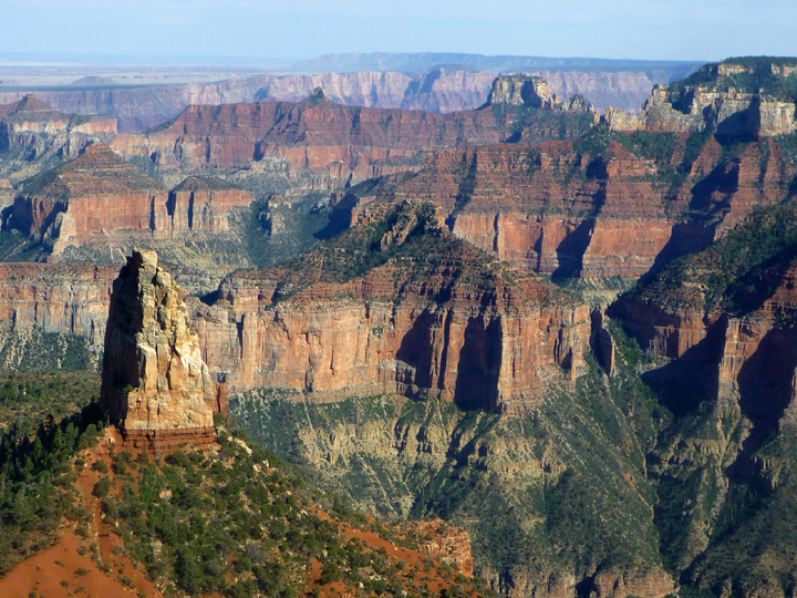
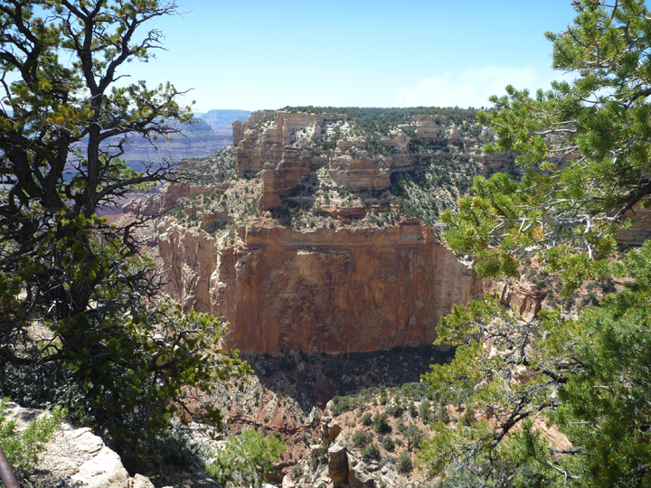
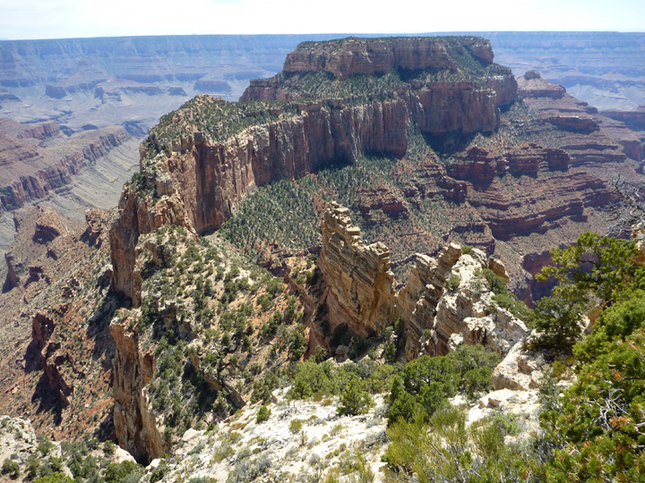
It is beautiful here, but we weren’t all that thrilled…yet. You can’t realize the full extent of the beauty here until you take the 23 mile scenic drive out the Cape Royal and Point Imperial.
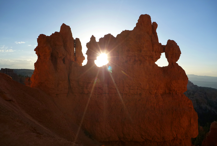
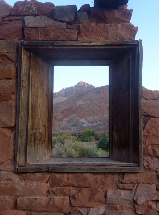
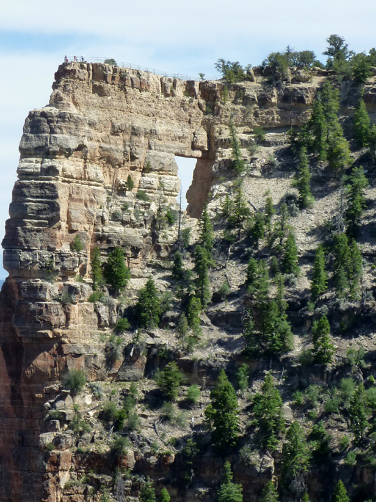
NorthRimAngelsWindow0908

Angel’s Window

NorthRim0938

NorthRim0869 NorthRim0853

North Rim 1

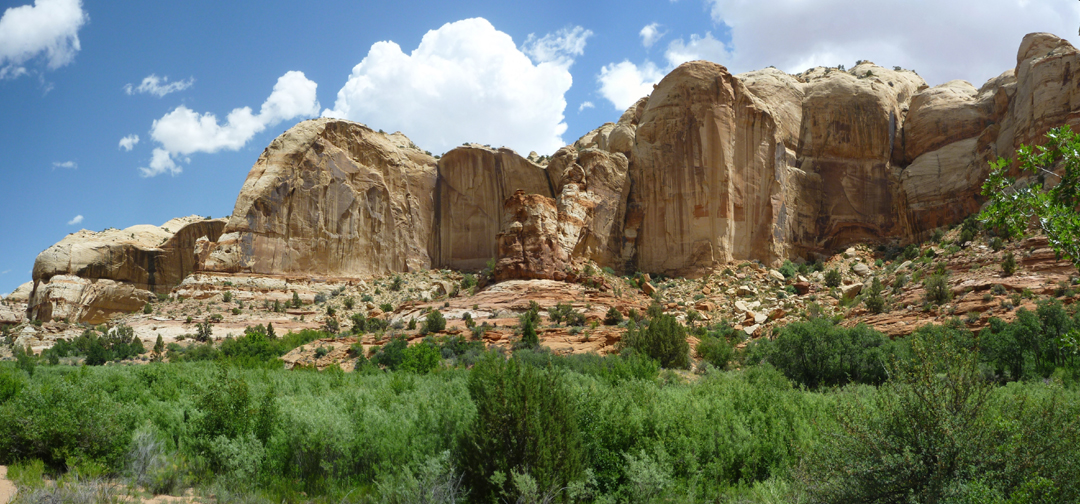
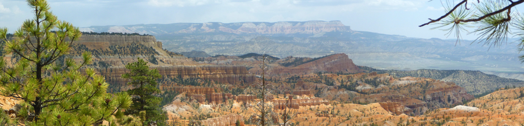
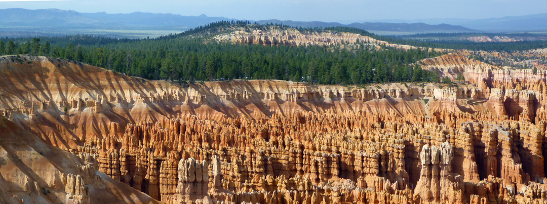
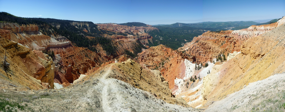
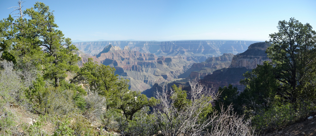
This is one of Al’s panoramic shots. Click to view larger.


« Newer Posts - Older Posts »

Categories