Posted by: sunnyharvy | April 7, 2016

West Coast Diversions and More

Westport0873 - Copy

The beach at Westport all to ourselves, including FREE camping!

Our drive up the West Coast continued to Westport and a bit beyond so we could take a hike along the Charming Creek Walkway. This gentle hike along the Ngakawau Gorge follows the narrow gauge railroad route formerly used for hauling timber and coal.

CharmingCreek0900

You literally hike between the narrow gauge rails (what’s left of them)

CharmingCreek0941

CharmingCreek0876

A few historic artifacts, like these coal cars, add interest to this hike.

CharmingCreek0887

As do a couple of tunnels…

CharmingCreek0933

…and a swing bridge over the river. Long ago the tracks crossed here too.

CharmingCreek0901

Small waterfall along the way.

CharmingCreek0906

CharmingCreek0912

Love old rusty stuff.

CharmingCreek0924

We turned back at this larger waterfall after a river side picnic lunch.

We drove back down to Westport and bid the West Coast farewell as we turned inland to head back across the top of the island.

BullerGorge0944

Tight one lane section of highway along the Buller Gorge.

Lyell0965

I took an early morning hike from our campground at the former town site of Lyell.

Lyell0947

Lyell0955

Forest graveyard from 1870 – 1890s.

Lyell0956

MaruiaFalls0977

We took another short detour to view the Maruia Falls that were created by the Murchison earthquake of 1929.

Nelson0986

Here we are camped in the driveway of British friends Terry and Di in Nelson. We met them only briefly some 17 years ago in the Adirondacks, but they welcomed us warmly. Thank you!

Nelson0990

Terry gave us an informative tour of Nelson.

Nelson0995

And we took him to lunch at The Anchor on the marina.

Posted by: sunnyharvy | April 6, 2016

Up the West Coast

We have enjoyed remarkably good weather for most of our trip so far with just a day or two of showers and not much wind to speak of. The West Coast of NZ is notoriously wet and, as if on cue, it began to rain right before we reached the coastal highway at Haast. It continued to rain through the next day and night and into the next morning. Because we didn’t want to miss any scenery we laid low for an entire day at our campsite at Lake Paringa.

LakeParinga0718

Skies beginning to clear at Lake Paringa.

LakeParinga0713

Luckily it didn’t rain hard enough for this sign near our campsite to be a concern.

BruceBay0720

We came upon this pile of rocks at Bruce Bay.

BruceBay0722

Many had interesting messages left by previous tourists.

BruceBay0719

I’m sure many feel the way this couple did. We are grateful to have as much time as we do to explore this diverse country. Still not nearly enough though.

BruceBay0729

Bruce Bay was voted one of NZs top ten beaches.

FoxGlacier0738

Interesting to see the toe of Fox Glacier just a few miles from the sea.

Okarito0741

The sun was shining full again as we settled in to camp at Okorito. This small village is now home to around 30 permanent residents, but it was once a gold mining boom town.

Okarito0750

Reportedly the oldest surviving building of its type on the West Coast.

Okarito0752

Okarito0753

Great shot of James and Eva Donovan.

Okarito0749

Wonder what goes on in Albert’s hut.

Okarito0742

My Albert contemplating the Tasman Sea.

Okarito0761

The rare kiwi bird is known to live in this area. We did not see one.

HariHari0776

This mosaic labyrinth was created by the members of the Hari Hari community.

HariHari0778

Some of the tiles included personal messages.

WestCoastDrive0767

The Great Coast Road is sometimes like driving through a fern tunnel.

WestCoastDrive0766

Quite challenging to drive as many of the roads here are – narrow and winding.

WestCoastDrive0732

Driving here takes intense concentration…

WestCoastDrive0731

especially on the numerous one-lane bridges.

Hokitika0799

Nice reward at days end: sunset at Hoktikita Beach.

Hokitika0800

Hokitika0809

Early the next morning Mt. Cook was visible from the beach. This area is known for this unusual view, but we only got this one glimpse due to constant cloud cover. (I know it is nearly impossible to see in the photo, but I had to try.)

Greymouth0822

More narrow bridges. This one is even shared with trains!

GreatCoastRoad0832

More slow curves – it takes forever to get anywhere here…

Motukiekie0829

but the scenery is worth it.

GreatCoastRoad0844

Can’t put a road any closer to the ocean than this!

Motukiekie0842

Reminds me of the Northern California – Oregon coast.

Posted by: sunnyharvy | April 3, 2016

Onward and Over to the West Coast

The day we drove through Queenstown, the adventure capital of NZ, things were really hoppin’. There were para-gliders on the lake, parachutists in the air, jet boats on the river, bungee jumpers on the bridge, and much more. What a frenzy of activity, none of which we were interested in (must be getting old, eh?). We continued on for the beautiful drive to the small town of Glenorchy.  Our campsite was beyond the town at the end of the road.

Glenorchy0587

The next morning the nearby peaks had a new dusting of snow.
Arrowtown0627

Our next stop was in Arrowtown, a charming but touristy gold rush town. I got up really early to take these photos without cars and people.

Arrowtown0609

Former miner’s cabins now house small businesses.

Arrowtown0599

More heritage buildings with afternoon tourists.

Arrowtown0598

Arrowtown0602

Many of Arrowtown’s early gold miners were adventurous Chinese, and the remains of their very separate village lie by the river.

Arrowtown0600

Arrowtown0629

I really liked these novel advertising “vehicles.”

Arrowtown0630

Wanaka0643

Our brief visit to Wanaka featured a visit to Cinema Paradiso for their homemade ice cream.

AlbertTown0648

An entire town celebrates Albert’s 70th year!

LakeHawea0651

Heading up the shore of Lake Hawea.

LakeHawea0662

The rough dusty road to our next campsite.

LakeHawea0661

A few of the local residents (bovine and ruminant) tried to impede our progress.

LakeHawea0664

The reward for our efforts – a remote lakeside campsite.

BluePools0689

Yet another beautiful, but challenging, drive took us over Haast Pass. Along the way we took a few short hikes to the Blue Pools,

BluePools0687

FantailFalls0695

Fantail Falls,

HaastHwy0699

Some mighty cascades (not how small that person looks),

ThunderCreekFalls0701

And Thunder Creek Falls, before finally reaching the West Coast.  

Posted by: sunnyharvy | March 29, 2016

Catching Up

Before heading to Manipouri and Doubtful Sound (prior post that I just had to get published first), we did a little more cruising along the Southland coast.

Southcoast0190

Yet another amazing beach with nobody on it! They are seemingly endless here.

Bluff0219

Bluff, the most southern port town in NZ. Famous for oysters, which I can attest to being most delicious! Much meatier and less slimy than the New England variety.

Bluff0211

Only 15,008 kilometers from home!

LignitePit0207

A beautiful garden oasis created in an abandoned lignite pit.

CattleRoadBlock0205

ATV cowboys heading cattle down the highway.

WeirsBeachDrive0200

Now there’s a reassuring sign as we head to another remote freedom campsite.

Even though we were not going to take a boat cruise on Milford Sound, we heard the drive up there was worth the time, which it proved to be.

MilfordSoundDrive0426

Oh joy, another narrow winding road. Glad I’m with a good driver!

MirrorLakes0405

Mirror Lakes were certainly reflective for us that day.

MirrorLakesReflection0406

Can you tell this photo is actually upside-down?

TheChasm0453

A brief hike through the bush took us to The Chasm.

8 - Milford Chasm

Much more amazing than it looks in this photo.

MilfordSoundDrive0431

One of many waterfalls along the road. NZ is loaded with them!

MilfordSoundDrive0432

Aqua blue glacial water, much like we saw in Alaska.

MilfordSoundDrive0444

Homer Tunnel – 3/4 of a mile through solid granite. Construction began in 1935, but it didn’t actual open to traffic until 1954.

MilfordSoundDrive0422

The drive abounds in high peaks.

MilfordSoundDrive0452

MilfordSount0491

Bowen Falls on Milford Sound.

MilfordSound0492

The iconic view of Mitre Peak (at left) on Milford Sound. Also the end of the road.

LakeWakatipu0528

Free beach campsite on south end of Lake Wakatipu.

LakeWakatipu0556

Even more beautiful the next morning.

9 - Lake Watapuki

Panoramic – click to view larger.

LakeWakatipu0559

Drive up the long (84 km) eastern shore of Lake Wakatipu to Queenstown and on to Glenorchy.

LakeWakatipu0564

Looks like Lord of the Rings territory to me…because it is! Very difficult to capture this dynamic landscape in photographs.

Posted by: sunnyharvy | March 29, 2016

The Sound of Silence

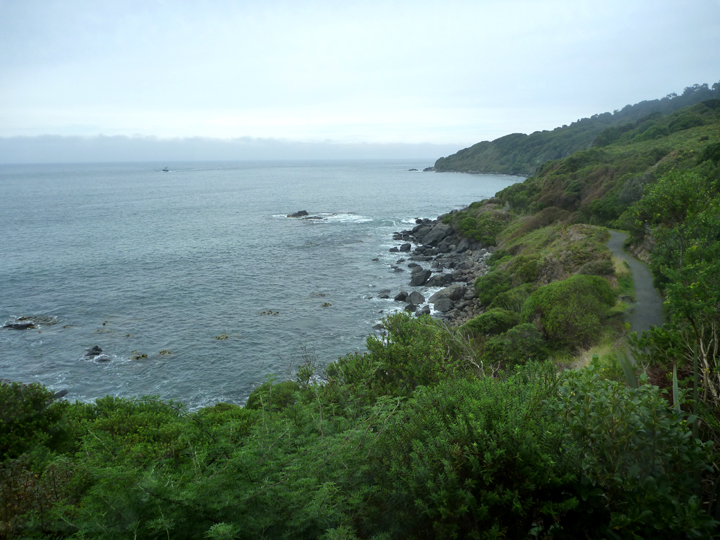
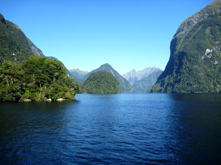
Anyone who has traveled here will recognize why the Maori name for Doubtful Sound, Patea, is so appropriate. Translated it means…”The place of silence.” There is a cloistered serenity within Doubtful Sound that contrasts with the highly publicized Milford Sound.

DoubtfulSound0253

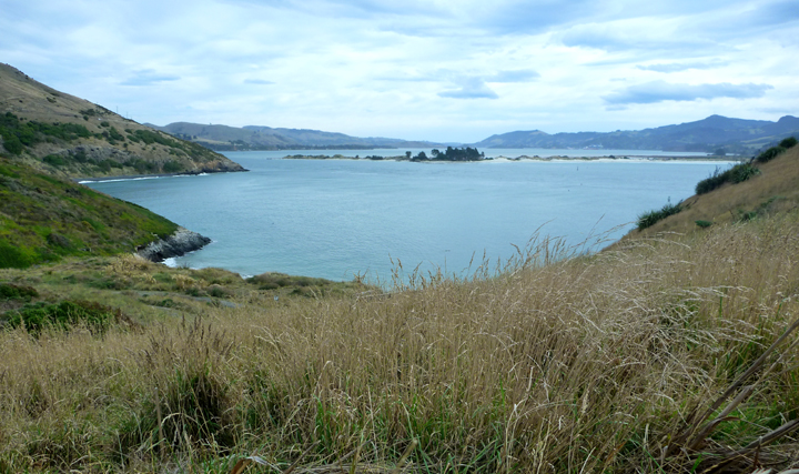
Getting our first glimpse of Doubtful Sound from Wilmot Pass.

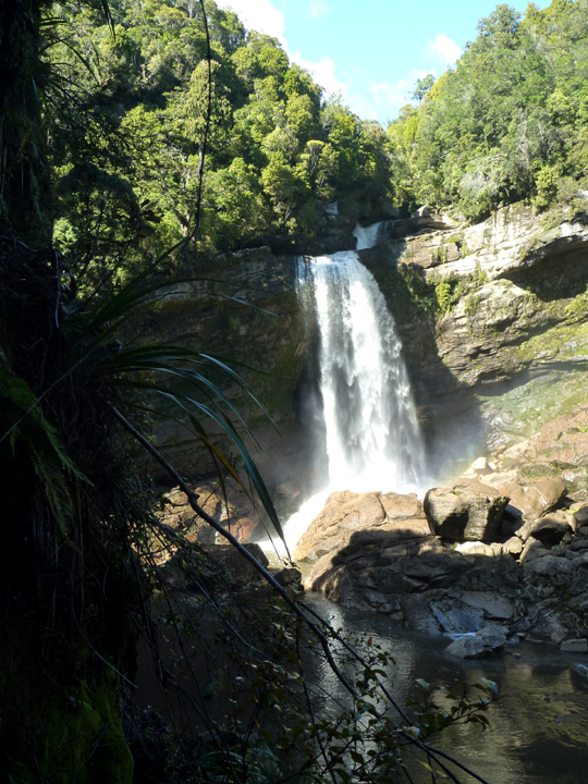
At 421 metres deep, Doubtful is the deepest of the NZ fiords, and three times larger than Milford. It is long and winding with three distinct ‘arms’ and several outstanding waterfalls in the area from Deep Cove to the open ocean, a distance of around 40.4 kilometres.

Before getting to NZ, neither of us had ever heard of Doubtful Sound and the tour is much more extensive (and expensive) than the highly touted cruises on Milford Sound, so it took some time to research and decide.

Manapouri0240

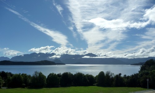
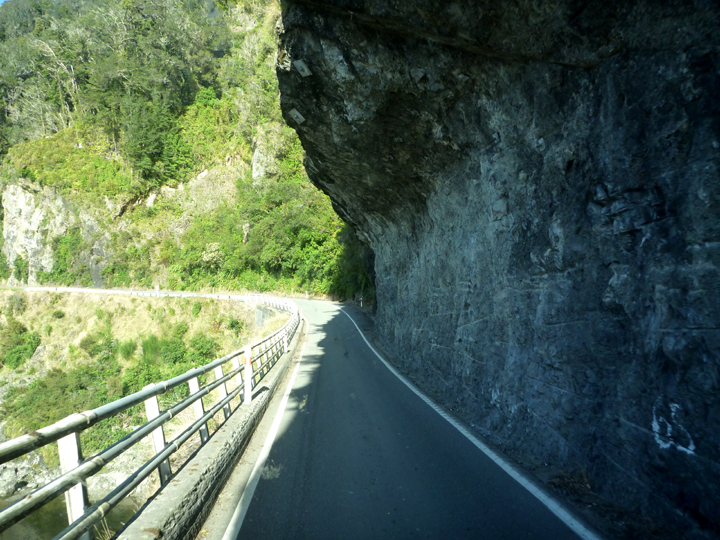
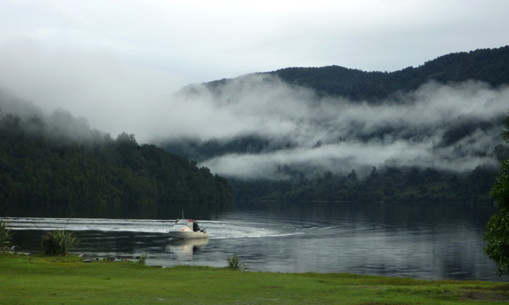
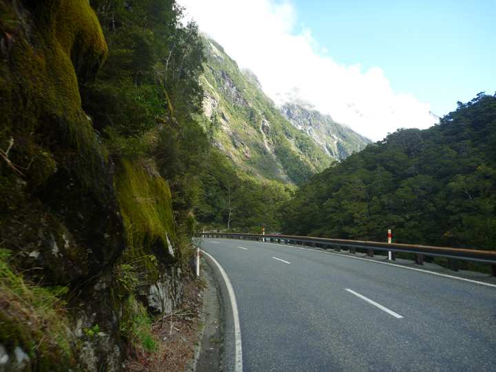
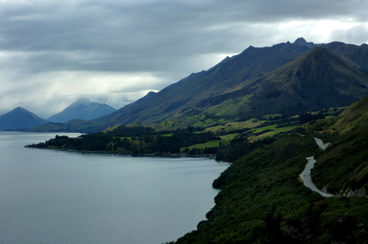
You can drive to Milford Sound…not so for Doubtful. Our all-day tour began with a one hour boat ride across beautiful Lake Manipouri (above). We then boarded a motor-coach for a 45-minute drive over Wilmot Pass on the only NZ mainland road not connected to any others. Construction of the unsealed road took two years to climb up and over the 2,200 foot pass. It holds the record as the most expensive road ever built here.

DoubtfulSound0264

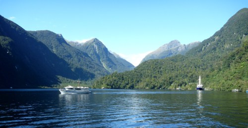
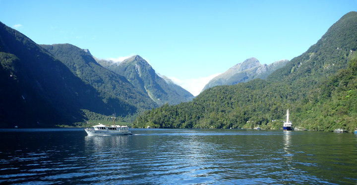
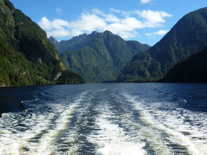
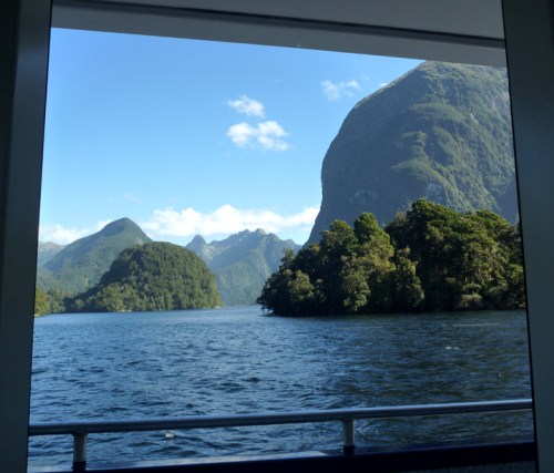
We boarded the Patea Explorer in Deep Cove for our 3-hour cruise.

DoubtfulSound0266

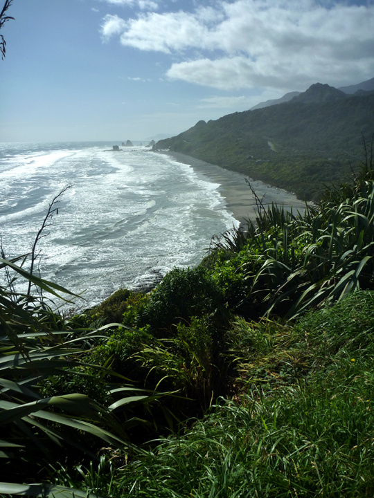
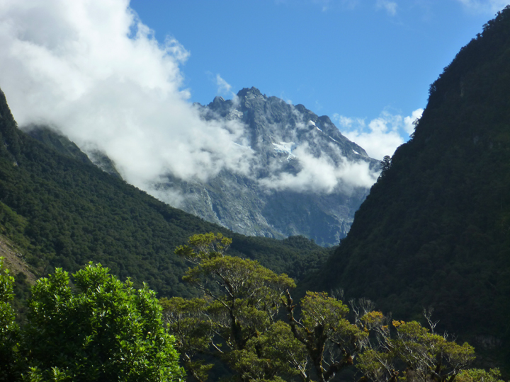
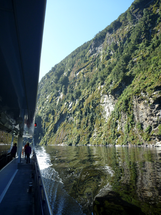
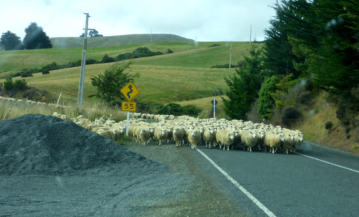
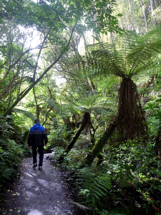
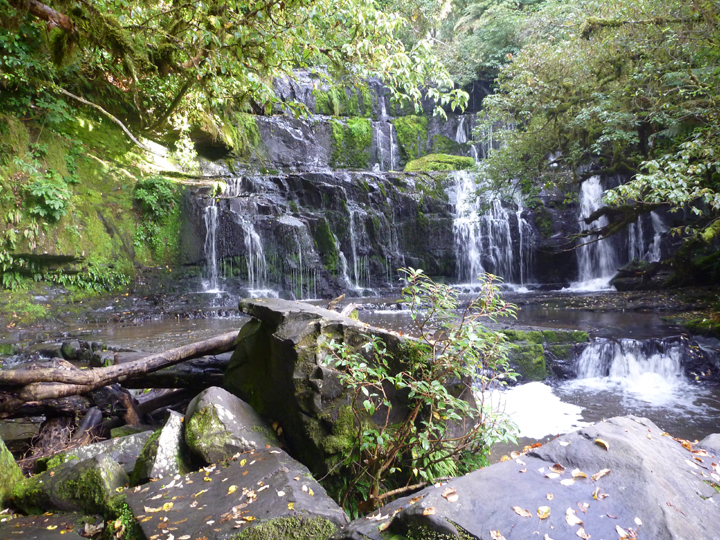
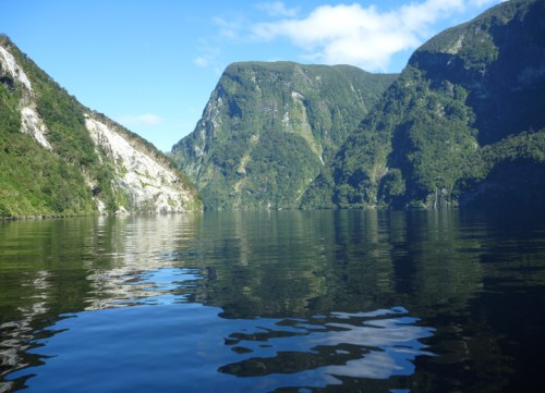
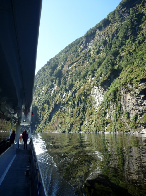
A bit of the gob-smacking (NZ slang) scenery en-route.

DoubtfulSound0273

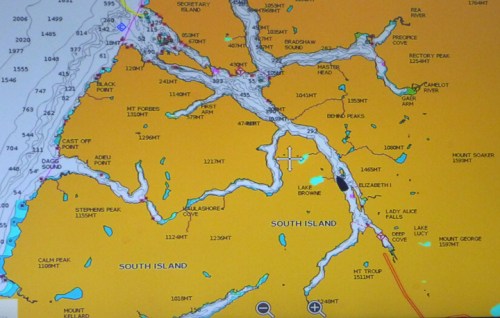
This chart shows how extensive the sound is.

DoubtfulSound0292

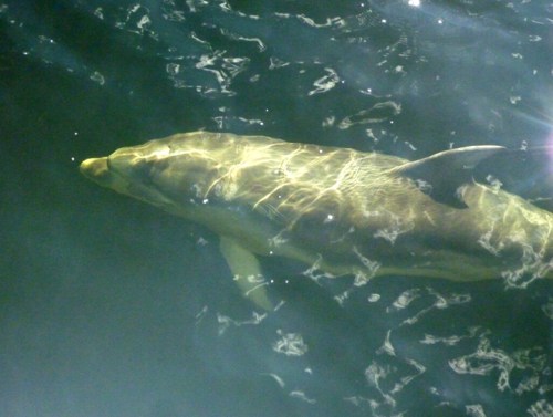
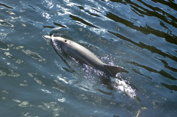
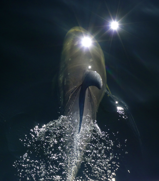
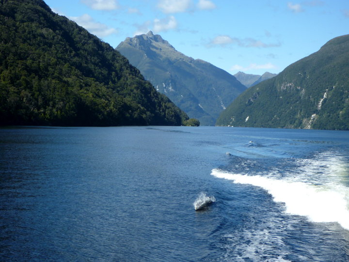
Bottlenose dolphins swam off our bow for a time.

DoubtfulSound0293

DoubtfulSound0294

DoubtfulSound0298

A couple of the dolphins surfed our boat wake too.

DoubtfulSound0308

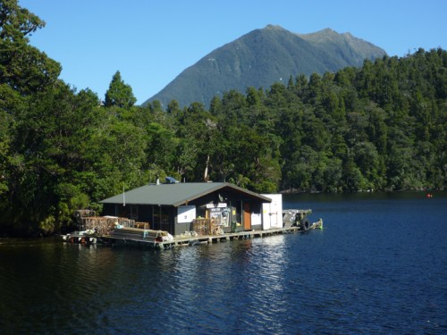
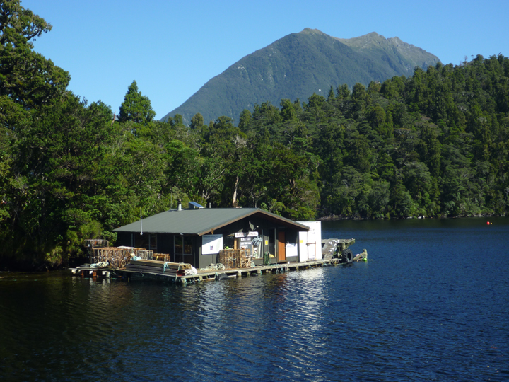
This extremely remove company harvests and ships crayfish to restaurants around the world.

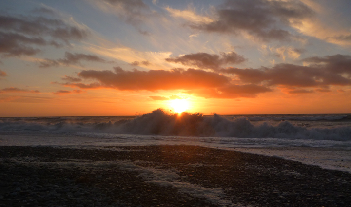
We were incredibly lucky to have a sparkling sunny afternoon for our cruise. It reportedly rains 2 out of 3 days with an average total of over 21-feet falling each year!

The rainwater that runs off the steep mountains produces a permanent fresh water layer that floats on the heavier salty sea water underneath. This layer of freshwater is darkened by the mountain soil, which makes it difficult for the sunlight to penetrate, meaning that the salty clear water underneath is home to many species that would usually only be found in the deepest, darkest ocean layers. I found this fascinating.

DoubtfulSound0346

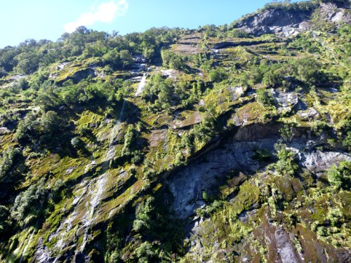
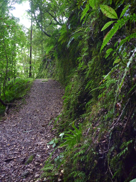
Vertical wall faces with trees growing out of them surround the sound. The co-mingled roots are what hold the trees in place in just a few inches of soil. However, the scars in the photo below were caused by tree avalanches.

DoubtfulSound0353

When Captain James Cook got close to the entrance of the sound in 1770, he decided on the name ‘Doubtful Harbor.’ That’s because, fearing he would not be able to sail the Endeavour back out, he resisted entering the inlet and instead continued on around the island.

When is a Sound not a Sound?

When it is a fiord. Early sealers and whalers renamed Cook’s harbour Doubtful Sound. As a post-glacier valley flooded by the sea, it should technically be called Doubtful Fiord. However, the second name has stuck.

DoubtfulSound0354

DoubtfulSound0382

DoubtfulSound0384

Manapouri0239

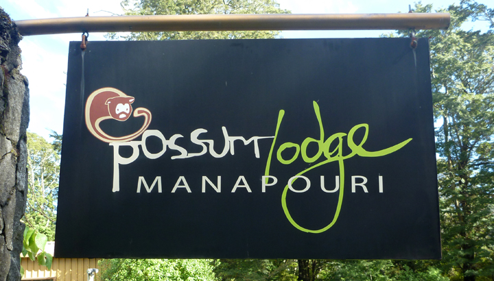
Our day-long adventure ended back where it began, at our cozy Possum Lodge campsite in Manipouri.

Manapouri0228

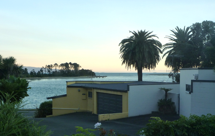
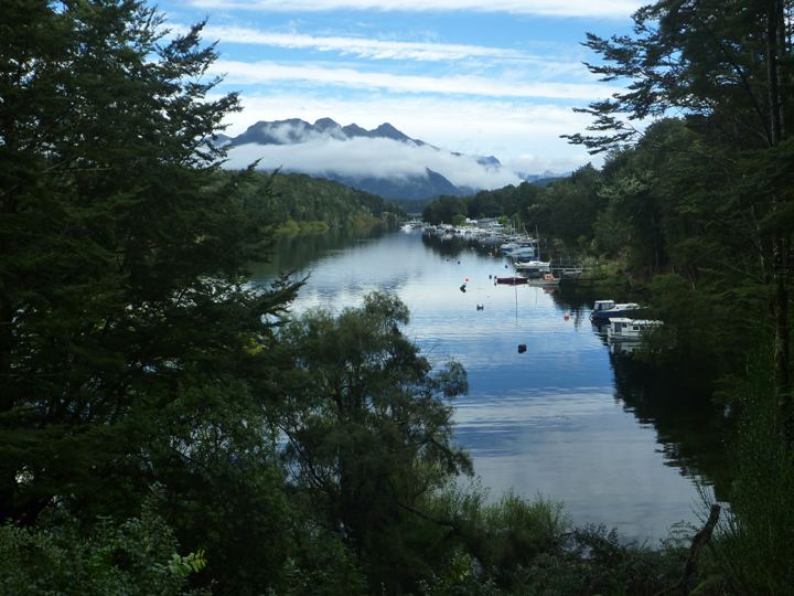
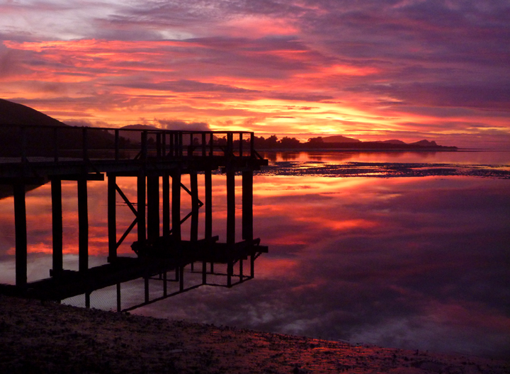
Pearl Harbour in Manipouri.

Posted by: sunnyharvy | March 24, 2016

The Southland

We are now driving across the southern most part of the South Island, NZ. Dunedin is the largest city in the Southland and is mostly known for it’s Scottish heritage and the country’s oldest university.

Dunedin0941

Dunedin0932

The railway station is really quite something – inside and out.

Dunedin0879

Dunedin0881

Dunedin0885

Dunedin0944

Dunedin0935

The CBC (how Kiwis refer to their Central Business Districts) felt a little like Europe to me, with sidewalk cafes and such.

Dunedin0939

Dunedin0947

When Al saw the excellent marketing (above) of a local scenic train ride, he was keen to give it a go. While the Taieri Gorge Railway tour didn’t quite live up to expectations, we had a pleasant day onboard and met a very nice Kiwi gentleman who provided lots of good travel information. We hope to visit him at his home on the North Island next month.

Dunedin0022

A bit of the gorge.

Dunedin0018

The oldest wrought iron structure in NZ.

Dunedin0008

Nicely restored vintage train cars.

Dunedin0991

While in the area, we also toured the Otago Peninsula where we saw some magnificent Albatross flying near the Royal Albatross Centre. Sorry we didn’t get any photos, but our little Panasonic Lumix pocket camera wasn’t up to the task. The birds were wonderful to see though.

OtagoPeninsula0907

Taiaroa Head where we watched the Albatross.

OtagoPeninsula0905

Looking back towards Dunedin from the end of the Peninsula.

Brighton0088

A bit further on we Freedom Camped at the Oceanview Reserve in Brighton where I caught this nice sunrise. I didn’t immediately recognize the tracks in the sand.

Brighton0094

It didn’t take long for the mystery to be solved. Never seen this on a beach before!

SodCottage0110

The thing I liked best about this restored sod house was…

SodCottage0111

This open-door policy. A sweet little museum that is always open.

NuggetPoint0120

Lunch stop on our way to Nugget Point.

NuggetPoint0130

Approaching Nugget Point Lighthouse on foot.

NuggetPoint0135

Vistas from just beyond the lighthouse.

NuggetPoint0137

NuggetPoint0140

NuggetPoint0141

Lots of fur seals down there and beautiful blue water.

Pounawea0142

Short hike through dense bush near campground in Punawea.

Punawea0146

This Punawea sunset lasted at least an hour.

Punawea0157

SheepRoadblock0162

You know you’re in New Zealand when sheep impede your progress on the highway. The number of sheep here is truly unbelievable.

Purakaunui0180

Another walk through the bush. Check out those tree ferns.

Purakaunui0184

That walk terminated at Purakaunui Falls. Follow the link for a much better photo of them.


« Newer Posts - Older Posts »

Categories