Posted by: sunnyharvy | July 13, 2015

On the Road to Valdez

Leaving Huck’s Hobbit Homestead was bittersweet, but there is lots more to see and do here in Alaska before the short summer season is over. The next leg of our journey takes us south towards Valdez.

RichardsonHwy0132

Only got a quick photo of this couple through haRVy’s windshield as we passed the on the highway. Wish we could have stopped to hear their story.

Gakona0143

Pausing to be grateful that we’re not traveling in that buggy.

Gakona0140

Probably won’t see a dog sled made into a flower planter anywhere other than Alaska.

Gakona0136

Gakona0133

CopperCenter0145

CopperCenter0147

Downtown Copper Center

RichardsonHwy0150

RichardsonHwy0153

We’ve seen dozens of these abandoned roadside businesses. Each makes me a little sad. How long ago was gasoline only $1.45 a gallon?

RichardsonHwyThompsonPass0164

A competitor in a the Fireweed 400 bike race across Alaska.

WorthingtonGlacier0174

Worthington Glacier

BlueberryLake0193

This photo and the following ones were shot at Blueberry Lake Campground. Described by The Milepost publication as, “Tucked into an alpine setting between tall mountain peaks, this is one of Alaska’s most beautifully situated campgrounds.” We couldn’t agree more.

BlueberryLake5931

View from our windshield while in campsite.

BlueberryLake5927

BlueberryLake0208

BlueberryLake0199

BlueberryLake0194

BlueberryLake0215

Alpine tundra a short hike from our campsite.

BlueberryLake0222

BlueberryLake0224

BlueberryLake0225

ValdezBriidalVeilFalls0240

Back on the highway to Valdez we soon reach Bridalveil Falls.Valdez0241

Scraping the bugs off. ValdezHorsetailFalls0247

Horsetail Falls and a famous photographer.

ValdezHorsetailFalls5944

This is the shot I was taking.

ValdezCG5948

Welcoming committee at Valdez Glacier Campground.

HURRAY!!! I am caught up with my blog postings. Hope you are enjoying them. I welcome your comments. Thanks for following us.

Posted by: sunnyharvy | July 13, 2015

Huck’s Hobbit Homestead

Slana0090

Joy & Steve’s beautiful home of nearly 30 years on land they homesteaded in Slana, Alaska.

After a couple of days spent on logistics in unremarkable, but extremely RV friendly Tok, Alaska, we headed south down the Tok Cutoff highway. On the recommendation of a fellow Westy owner (thanks David), we found our way to an exceptionally unique vacation spot.

Slana0130

Turn right off the main road onto 4-mile road, right at the church, down the rough gravel road for a couple of miles, then right at the fork, over the small wooden bridge, and up the hill.

Slana0113

Even though we were not expected, Joy and Steve greeted us warmly upon arrival. They homesteaded the property 28 years ago during one of the last opportunities to do so in Alaska. Steve told us that approximately 400 people moved here during that time and only about 30 of the original homesteaders remain.

Slana0076

One of several ponds on Joy and Steve’s 85 acres.

Joy and Steve have flourished here. They were fascinating people to meet. I could have listened to their stories for days – raising three daughters here before electricity and running water were brought in, subsisting on trapping and hunting, building their own beautiful log home plus cabins for guests, running a hostel, crafting hats and other apparel from animal skins and pelts, growing an abundance of vegetables during their 19-hour summer days and subsequent canning. No slouches here.

Slana0087

One of the guest cabins.

Slana0089

Slana0100

The interior of the largest cabin.

Slana0106

I forgot to ask Joy if she made these beautiful mukluks, but I assume she did.

Slana0111

They have his and hers greenhouses. Here Steve works in his.

Slana0112

We spent hours watching the expansive ever-changing sky.

Slana5919

Steve’s trapping gear.

Slana5926

Slana0118

A bundle of caribou antlers.

Slana0128

Sign on the road out.

Don’t search for a Huck’s Hobbit Homestead website because there is none. Steve prides himself in never having touched a computer. They take bookings the old-fashioned way – by telephone or mail. We had a truly unique and quintessential Alaskan experience here. Probably should have stayed longer. Maybe we will return someday.

Almost forgot to include this final photo (below), which illustrates what life in Slana is all about. In case you’re wondering about the snow, I got this photo off the Internet. I did see the sign alongiside the road, but didn’t stop to read it.

SlanaFromWeb

Posted by: sunnyharvy | July 13, 2015

I SURVIVED the Top of the World Highway

TopOfTheWorldHwy0985

The title of this post is what the bumper sticker says that I bought for Al once we arrived in Chicken, Alaska. The Top of the World Highway name isn’t completely arbitrary– for most of the ride you drive along the peaks and crests of mountains and hills, providing broad views of the lush valleys below. This 79 mile gravel-road is only open in the summer months. It is the roughest road we’ve ever driven, the likes of which we hope to never see again.

But I’m getting a little ahead of myself. To get out of Dawson we first had to take a brief free ferry ride across the Yukon. There is no other way to get to the highway from Dawson.

DawsonCity0961

Consequently the line can get long. We were at the end of this one.

DawsonCity0964

As you can see, the little ferry doesn’t have much capacity, especially when most everyone is driving a humongous vehicle (or two).

DawsonCity0965

Our turn to board at last.

TopOfTheWorldHwy0975

My not very happy driver (doing a great job I must say).

TopOfTheWorldHwy0987

TaylorHighway0003

OK, you get the idea. 20 mph was pretty much the norm that day.

TopOfTheWorldHwy0988

The highway crosses into the USA at Poker Creek, Alaska. Not likely to see any terrorists trying to cross at this remote location. Heck, the official didn’t even ask me if I had any fruit!

TaylorHighway0002

The US Government teased us with 13 miles of extremely smooth pavement after the crossing, but some of the worst road conditions ensued. One of Al’s disgruntled comments was, “I’ve seen better roads in Ethiopia.”

The reward near the end of the road? Beautiful downtown Chicken, Alaska, an extremely small hamlet with a good sense of humor but no electricity, telephones, or flush toilets.

Chicken0008

Chicken0044

Chicken0010

Chicken0013

Old gold mining dredge

Chicken0018

The town mascot

Chicken0019

Have you visited Rooster, Denmark or Suck Egg Hollow, Tennessee?
Wait a minute. How did Lizard Lick get on there?

Chicken0023

Chicken0039

Chicken0024

Chicken0025

They call their annual music festival “Chickenstock.” It reportedly draws a huge crowd of about 500 folks.

Chicken0058

US Post Office, Chicken, Alaska – mail received twice a week…maybe.

Chicken0041

Chicken0042

Chicken0040

Chicken0047

Our not-so-healthy breakfast after a free overnight camp compliments of downtown Chicken.

Chicken0050

TaylorHighway0060

Back on the rough road again.

TaylorHighway0063

Patchwork highway would be a better name for it.

TokCutoff0071

At least they are trying…

Posted by: sunnyharvy | July 12, 2015

Dawson City Here We Come!

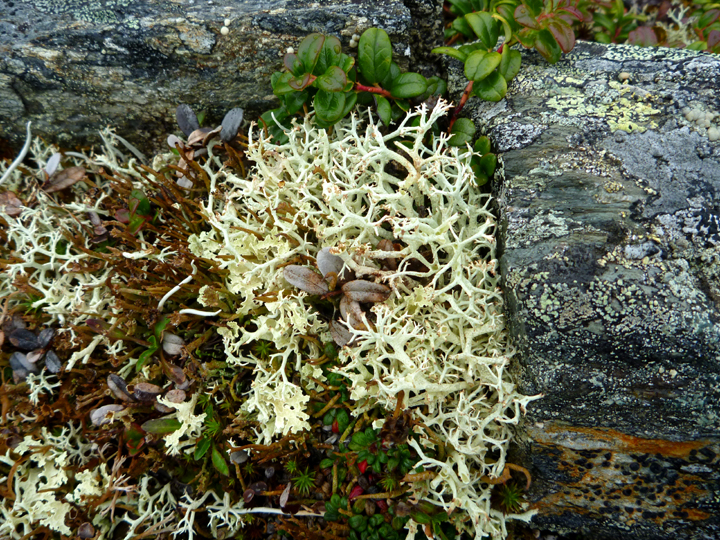
Still playing catch-up on my postings. I didn’t get the blog totally up to date in Tok and haven’t had good Internet access until arriving here in Valdez. Will try to bring our report up to date here while the weather is gray and wet.

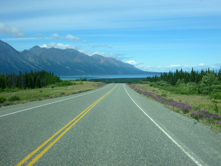
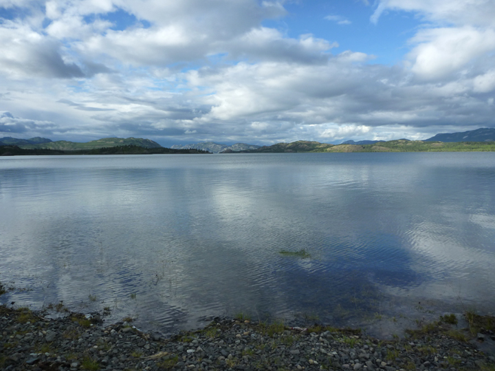
The printed propaganda says that the trip from Whitehorse to Dawson City is a pleasant and scenic six-hour drive. Well, it took us a LOT longer than that and it wasn’t even very scenic. Oh well, we are not in a hurry and not all the roads in life are memorable.

NorthernKlondikeHwy0854

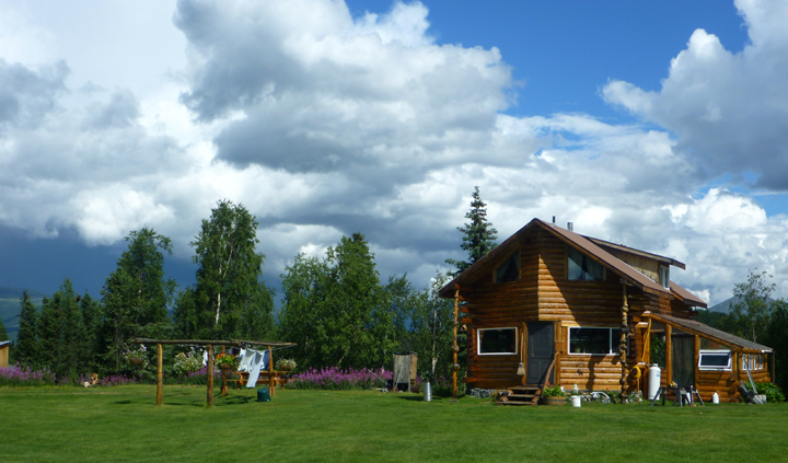
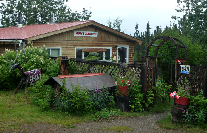
Just had to stop at Mom’s Bakery on the gravel road back to the highway from our campsite on Lake Laberge. It wasn’t open on our way in the day before. Mom was a pistol. 85 years old and still baking bread for the surrounding areas. I bought a loaf of rye. She also still helps her husband and sons prospect for gold. There is still a lot of that going on up here, but it doesn’t look like many are getting rich from it. Mom’s house is actually one of the nicest ones we’ve seen.

NorthernKlondikeHwy0856

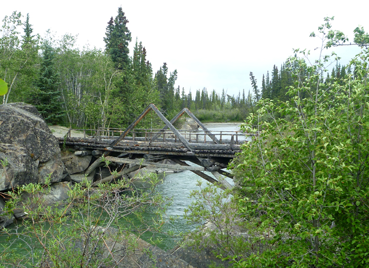
The remains of an old roadhouse.

NorthernKlondikeHwy0859

Mud, what mud?

NorthernKlondikeHwy0862

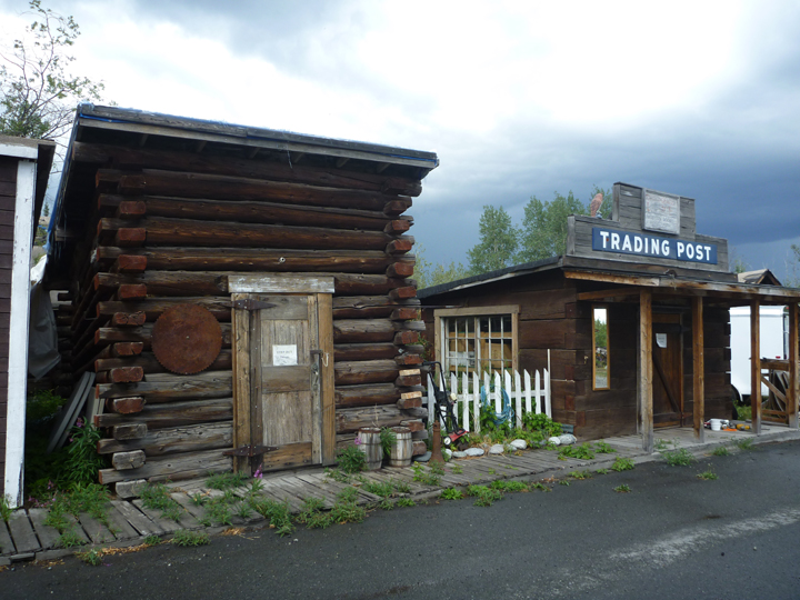
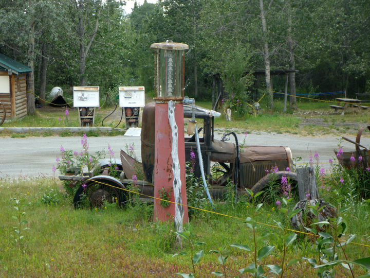
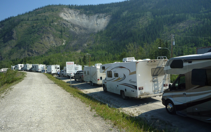
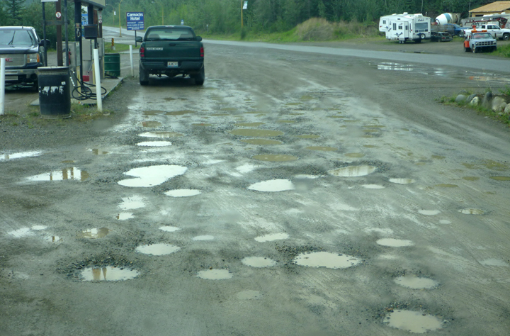
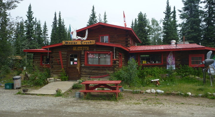
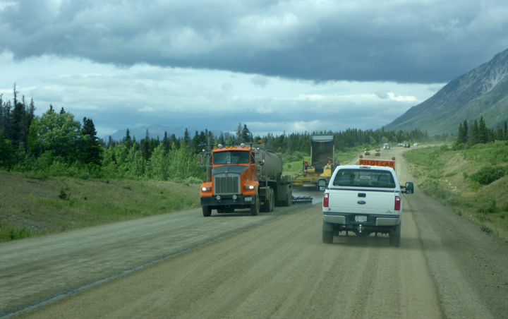
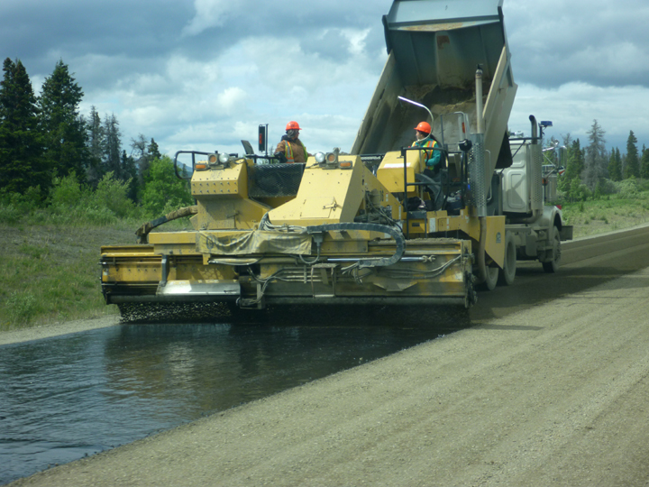
Typical obstacle course on way to buy fuel or a cup of coffee.

FiveFingerRapids0865

Five Finger Rapids. Sorry photo isn’t better. There was quite a lot of smoke building in the area due to a multitude of wildfires throughout the state.

NorthernKlondikeHwy0875

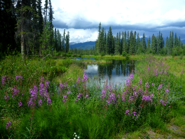
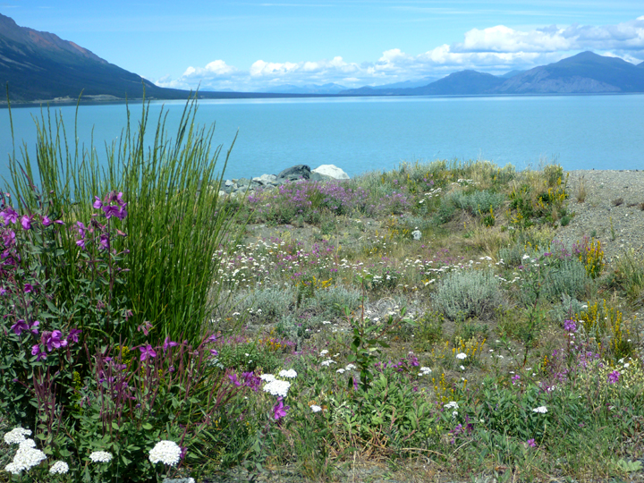
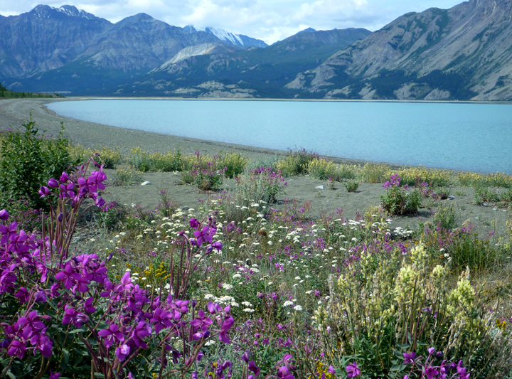
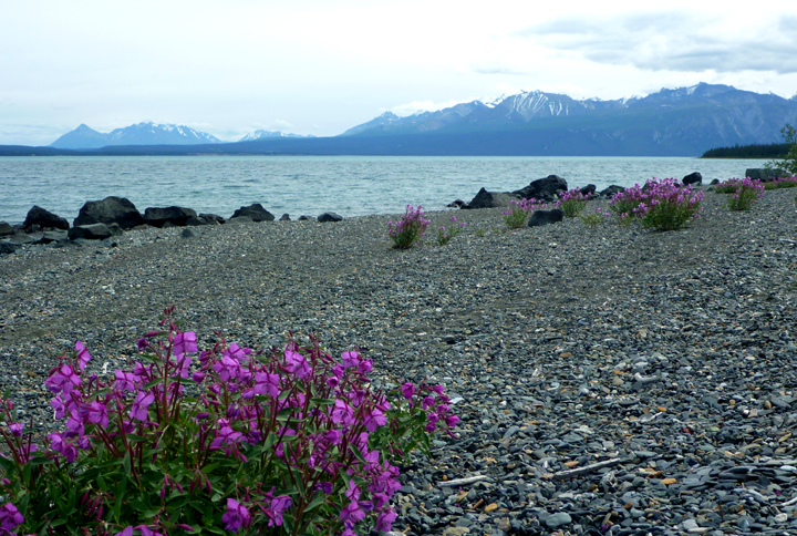
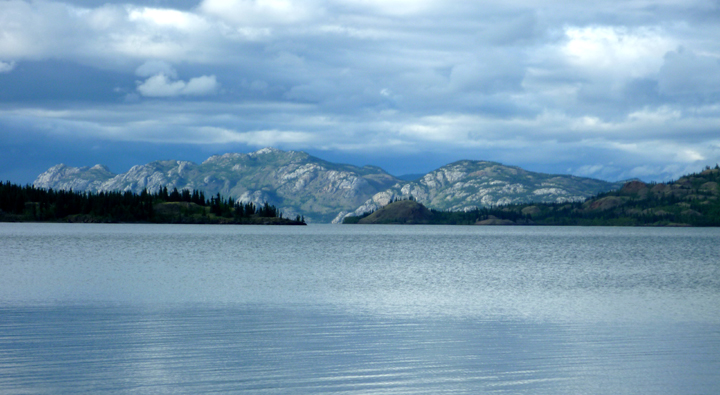
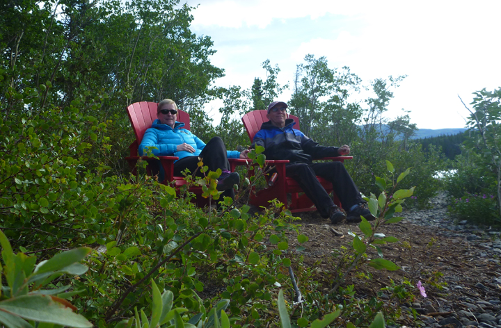
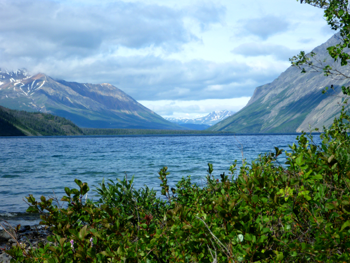
Don’t remember the name of this lake. Just a quick stop along the road.

NorthernKlondikeHwy0876

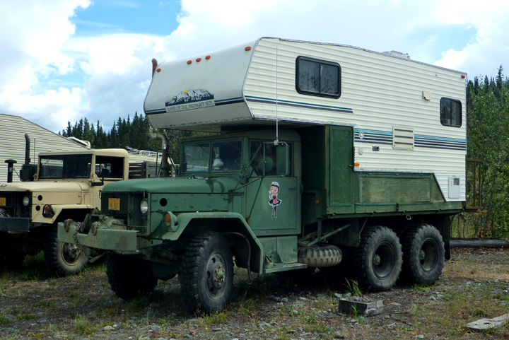
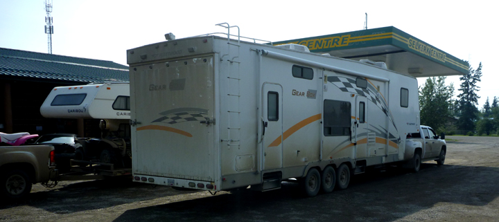
Why would anyone need to tow this much stuff all the way up here?!? Surprisingly typical though.

TatchunRiverCG0870

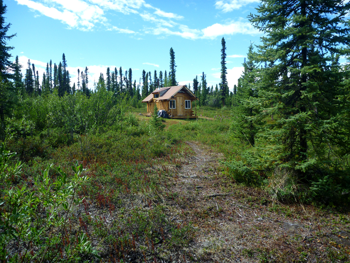
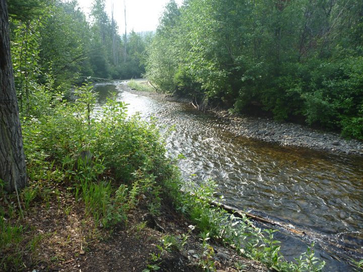
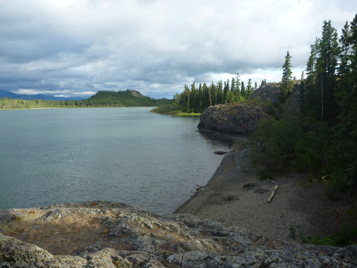
Campsite view of Tatchun River

NorthernKlondikeHwy0878

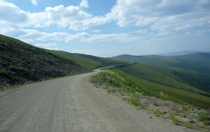
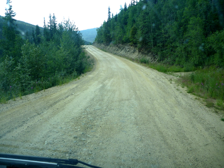
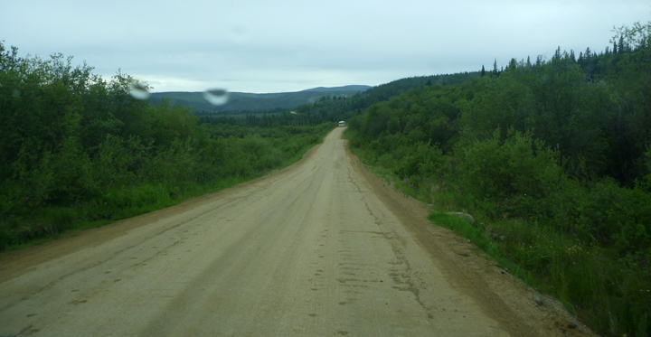
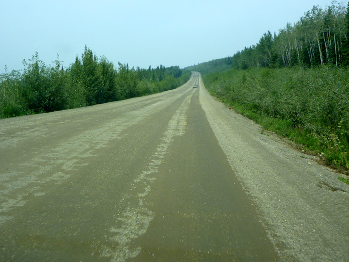
Long stretch of bumpy dirt road.

NorthernKlondikeHwy0880

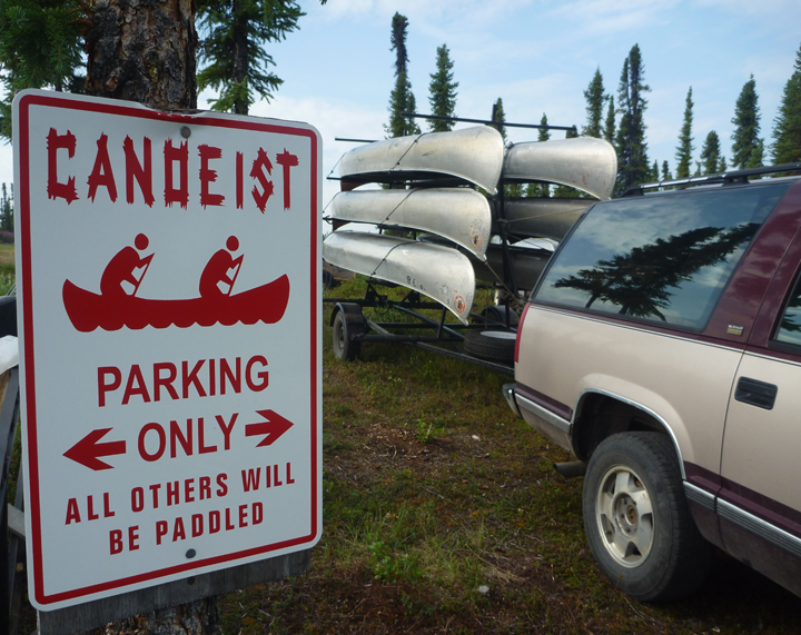
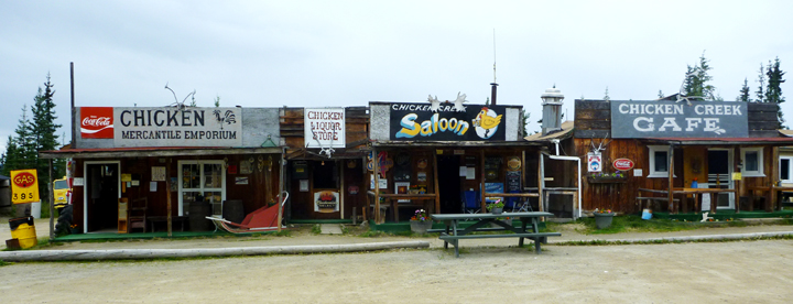
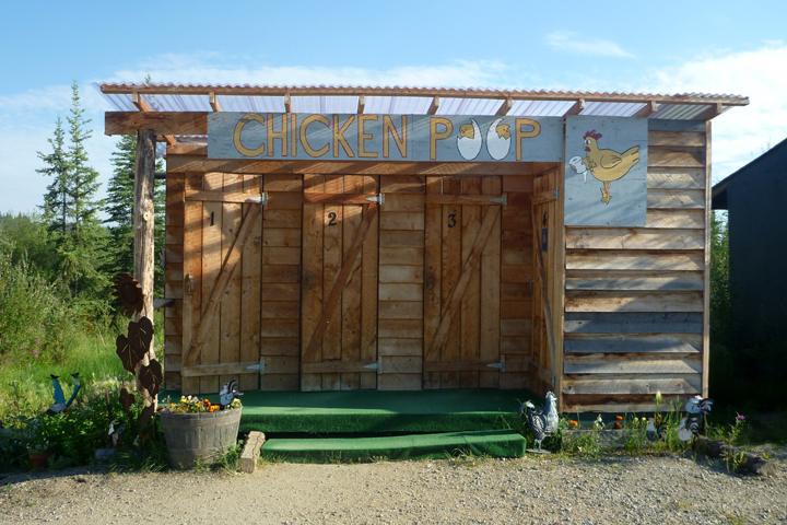
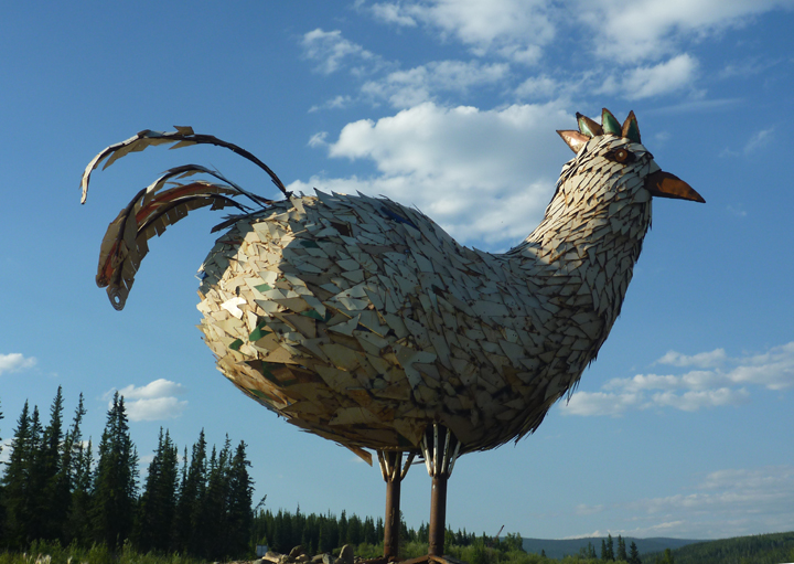
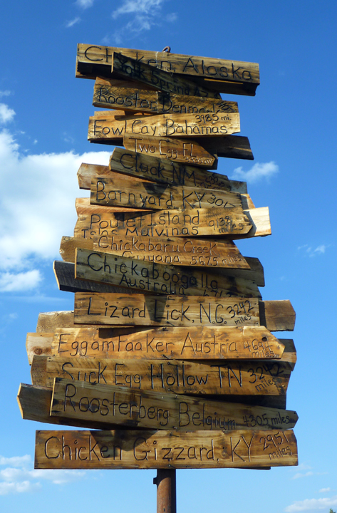
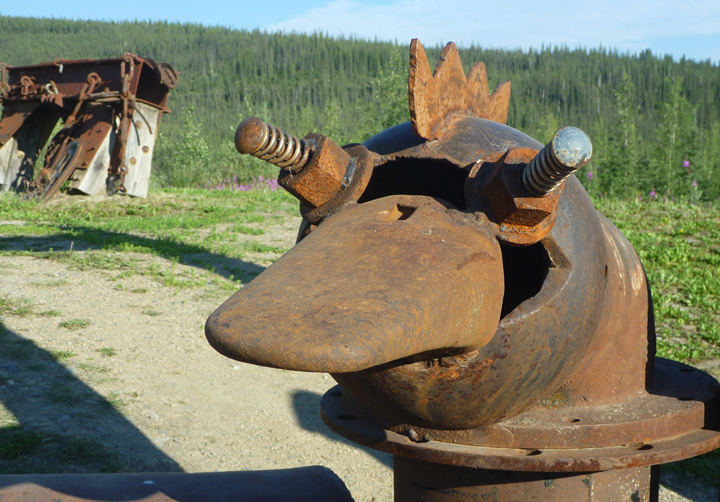
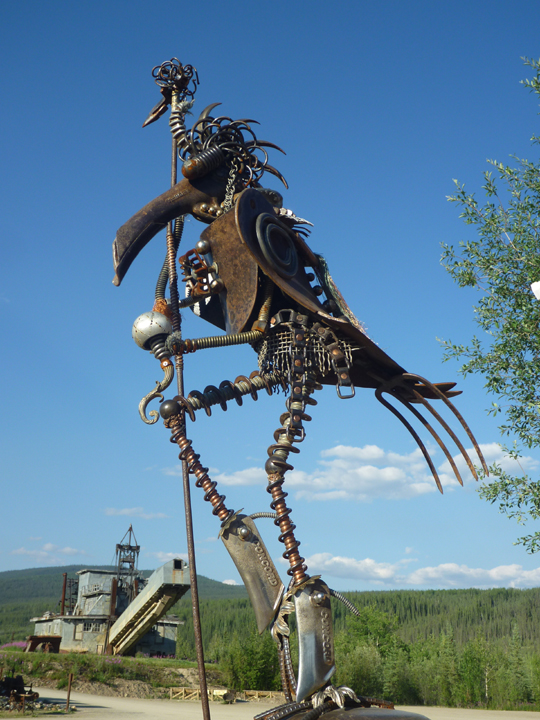
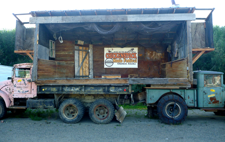
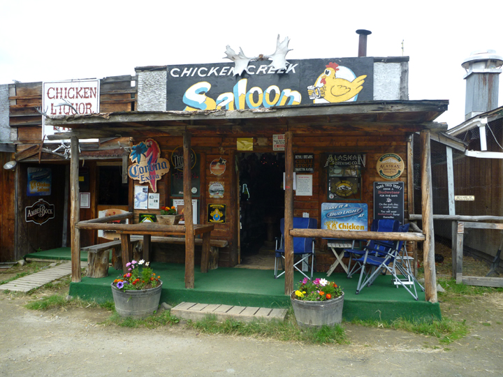
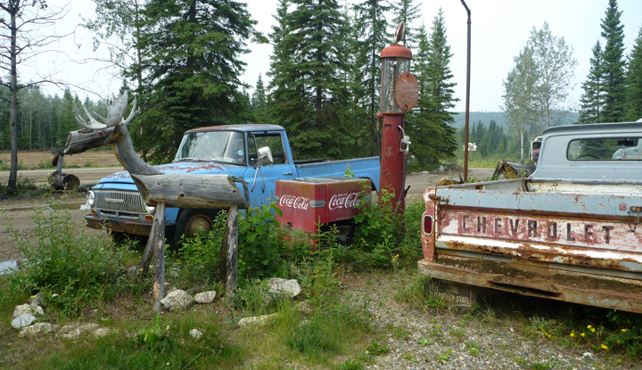
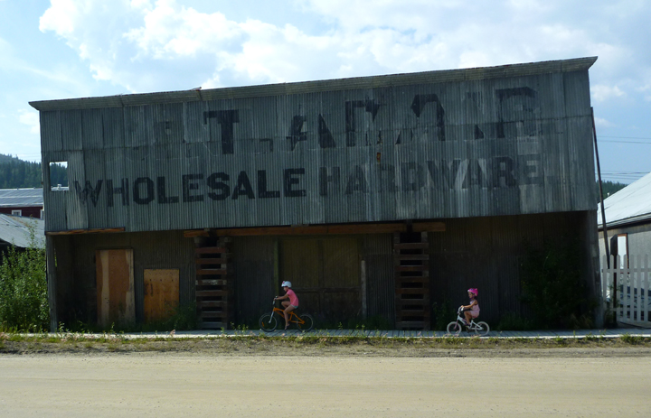
Roadside attractions

NorthernKlondikeHwy0881

Dawson City, Yukon has its charms. Parks Canada has done a great job of bringing a town on the brink of extinction back to life. A few decades ago they bought 21 historic buildings, which they are carefully restoring. Costumed guides offer informative and fun tours.

DawsonCity0890

We actually stealthily camped overnight right there in the historic district.

For a brief and romantic period at the end of the 19th century, Dawson was the largest city west of Winnipeg and north of Seattle, boasting a population of 30,000. Today, a somewhat quieter Dawson rolls out the red carpet to visitors who come to the Klondike to relive the rush for fame and fortune that gripped the world in 1897 after gold was discovered on Bonanza Creek in 1896.

DawsonCity0911DawsonCity0921

DawsonCity0909

DawsonCity0907

DawsonCity0900

We went to a presentation in the Palace Grand Theatre.

DawsonCity0896

DawsonCity0898

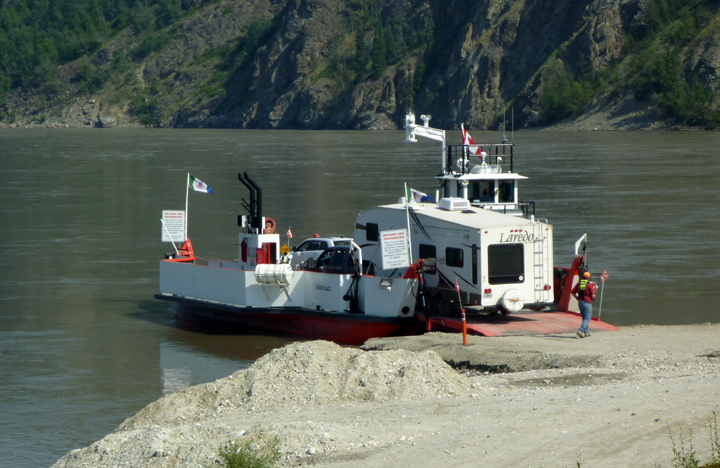
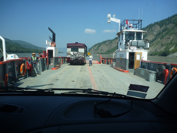
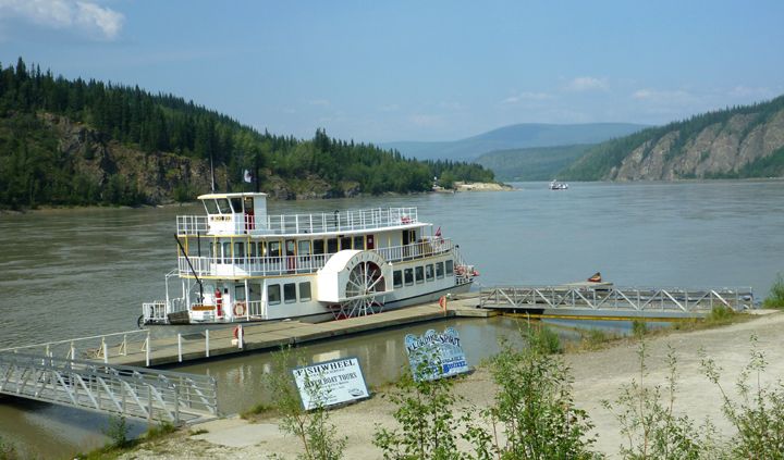
Before the highway (calling it that is a bit of a stretch in my opinion) was built in 1978, most goods and visitors arrived by paddle-wheel steam ship on the Yukon River.

DawsonCity0895

This one has been restored and is available for public tours.

DawsonCity0948

DawsonCity0894

A few local characters telling stories.

DawsonCity0954

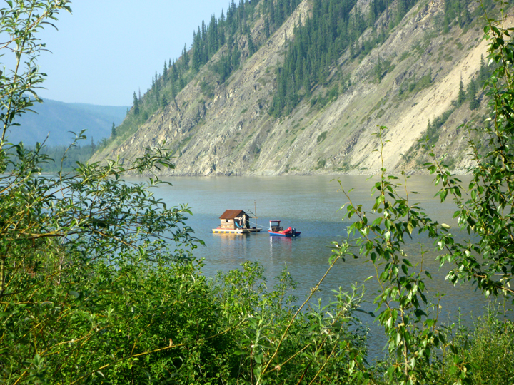
A houseboat on the Yukon? Not sure.

DawsonCity0949

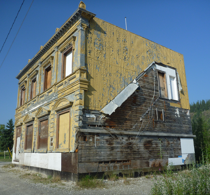
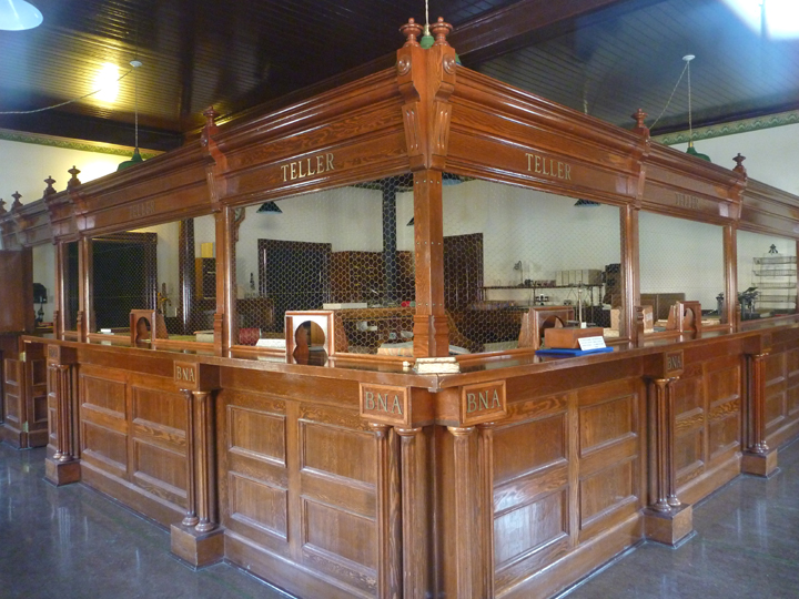
This was the wealthiest bank in town during the gold rush. The municipality recently purchased the building and plans to restore it.

DawsonCity0946

Currently occupied semi-restored miner shack.

DawsonCity0941

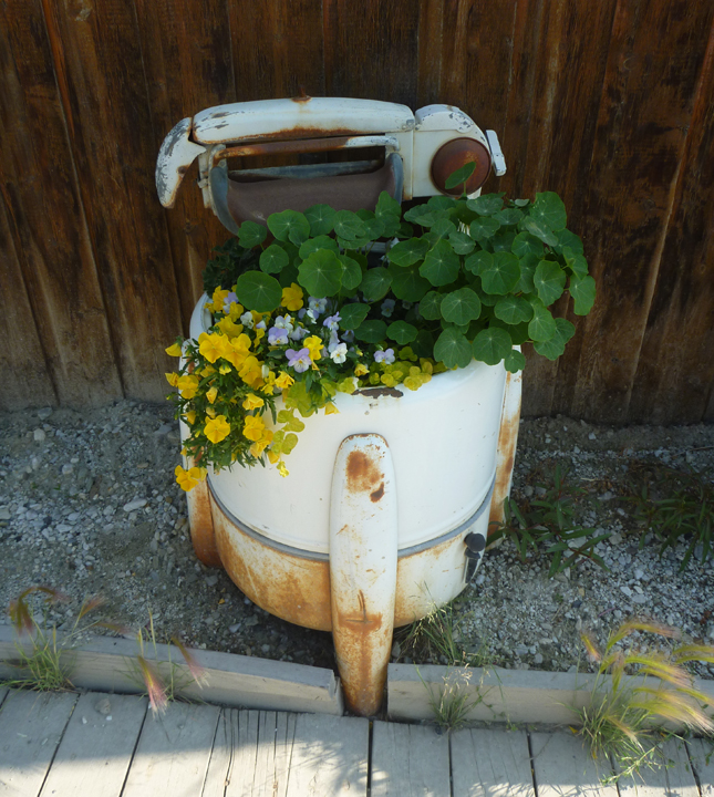
Lots of rusty stuff around. this one was planted with zucchini.

DawsonCity0939

Beautifully restored bank.

DawsonCity0937 DawsonCity0933

DawsonCity0932

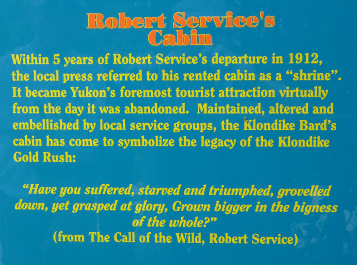
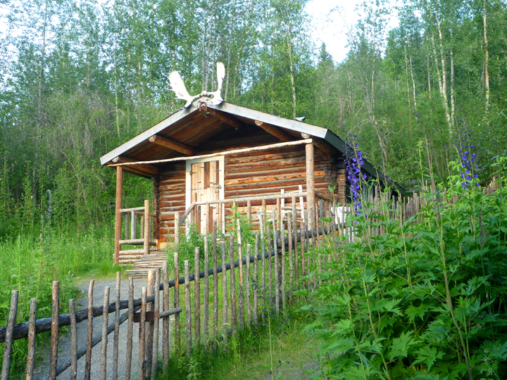
Jack London’s cabin.

DawsonCity0925DawsonCity0926

DawsonCity0955

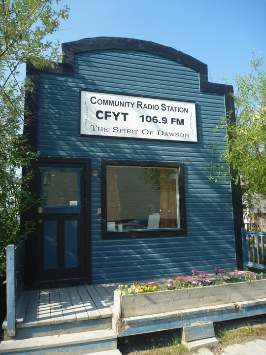
This building reminded me of the TV program Northern Exposure. Remember that?

DawsonCity0956

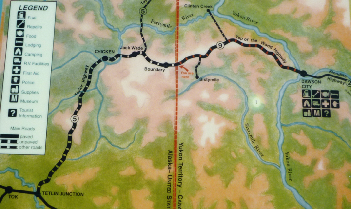
We have now traveled the Klondike trail from where the prospectors started their journey in Skagway, Alaska all the way to where the gold strike occurred near Dawson City.

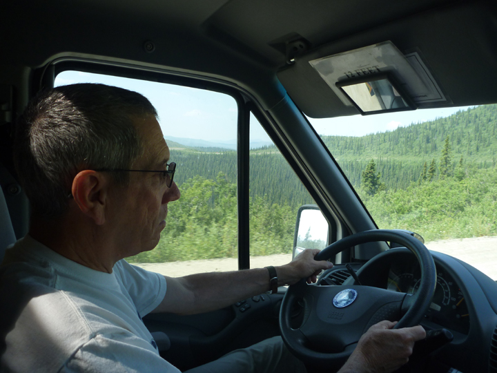
The road we took upon leaving Dawson City was definitely memorable… but not for the right reasons. Stay tuned!

Posted by: sunnyharvy | July 9, 2015

Yukon’s Southern Lakes District

The town of Haines Junction, Yukon lies where the northern end of the Southern Klondike Highway intersects with the Alaskan Highway. We arrived just in time for their Canada Day parade.

HainesJunction0768

HainesJunction0776

HainesJunction0779

It all took about ten minutes to roll by, but the local enthusiasm was contagious.

After filling up on diesel, we had a quick look around. They have a very nice combined Visitor & Interpretive Center plus the town gathering place – The Village Bakery. Didn’t find much else of interest to us so we didn’t stay long.

HainesJunction0784

HainesJunction0789

HainesJunction0790

HainesJunction0787

HainesJunction0792

Kluane Lake was highly recommended by several fellow travelers, so we headed up the Alaskan Highway to check it out.

KluaneLake0793

Approaching Kluane Lake

KluaneLake0795

Incredible water color, which is difficult to capture in photos, plus plentiful wildflowers all around.

KluaneLake0796

KluaneLake0823

Opposite side of the lake, where we camped.

KluaneLake0828

Yoga session turned into an afternoon nap.

Horror stories about the last one hundred miles of the Alaskan Highway in Canada cause us to decide to backtrack to Haines Junction and up the Northern Klondike Highway to Dawson City instead. It is our hope that repairs will be done before we head back down to the Lower 48.

CanyonCreekBridge0843

Historic Canyon Creek Bridge originally part of the Alaskan Highway. No longer used, but interesting to explore. CanyonCreekBridge0847

LakeLaberge0850

Lake Laberge where we camped for the night.

LakeLaberge0849

The province of Yukon’s slogan is “Larger Than Life” and it certainly is! One could spend years traveling all the backroads here. Read more about the Southern Lakes District here.

Posted by: sunnyharvy | July 8, 2015

Haines, Alaska and Return to Yukon

Haines0652

Chilkoot River

Upon departure at the ferry dock we turned right towards the Chilkoot River and Chilkoot Lake rather than heading into town. The scenery, as shown above and below, did not disappoint. Later in the season, when the salmon are running, there are reportedly many bears fishing at this location. We observed only a couple of fisher-people and some crafty bald eagles that liked to steal the fish they caught.

Haines0656

Keeping a close eye on things.

Haines0634

Our lakeside campsite –  just $12 a night. Beautiful celadon colored water.

Chilkoot Lake crp3

Afternoon at Chilkoot Lake

Haines0692

Sunset begins at approximately 9:30…

Haines0699

and continues until after 11:30. We are slowly getting used to it never getting dark at night.

Haines0704

Al being silly at the American Bald Eagle Foundation natural history museum. We got an up close look at some captive eagles here that are unfit to be released back into the wild.

Haines0708

View from our Haines harborside boondocking spot.

Haines, Alaska is in a beautiful setting surrounded by snow capped peaks and deep ocean inlets. We found the local very helpful and friendly and enjoyed a delicious lunch at the local health food store, Mountain Market, whose tagline you just gotta love: “food for life, coffee to die for.” Another of their slogans is “Keeping Haines Hip and Health.” It was apparent that their clever marketing and tasty offerings are working for them as it was a busy place full of interesting folks.

We took advantage of the traveler-friendly laundromat with hot showers, received our forwarded mail at the Post Office, and Al got a good Chiropractic adjustment.

HaineswithiPad0311

Haines even has a Hammer Museum. Bet you’ve never seen one of those before! “Dedicated to preserving the history of man’s first tool, the hammer.”

There’s only one road out, so we headed north on the Haines Highway, back into British Columbia briefly and Yukon by day’s end.

HainesHwy0728

Glacier ahead – lots of them around here!

HainesHwy0720
HainesHwy0719

Don’t think I’ll sign up for any of this guy’s tours.

HainesHwy0730

Uh oh, the dreaded orange signs mean trouble ahead.

HainesHwy0731

Road construction can only occur here in the summer, so you have to expect it, but that doesn’t mean it is enjoyable to traverse.

HainesHwy0732

Woman driver – you go girl!

KathleenLake0741

Nap time after a good day’s drive.

KathleenLake0749

Beautiful Kathleen Lake in Kluane National Park.

KathleenLake0759

Parks Canada places a pair of red Adirondack chairs at the end of select trails. Always fun to find.

KathleenLake0760

View from the chairs.

KathleenLake0745

Evening program around the campfire.

« Newer Posts - Older Posts »

Categories