Posted by: sunnyharvy | July 7, 2015

Skagway, Gateway to Klondike Gold

Skagway0581

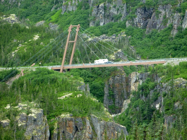
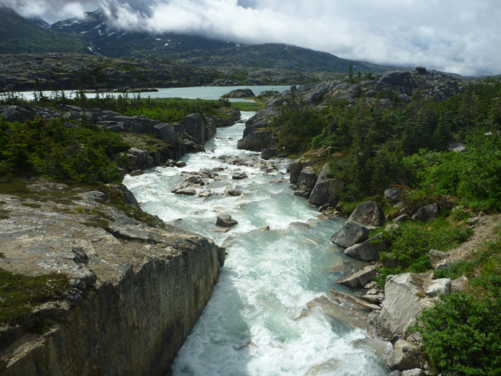
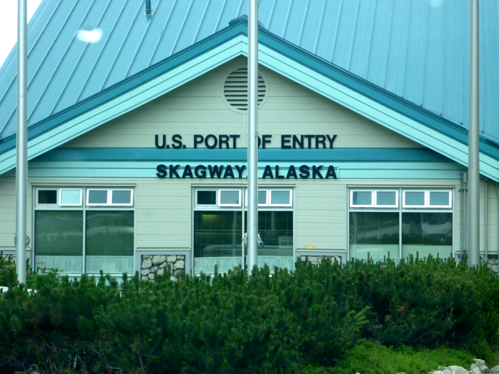
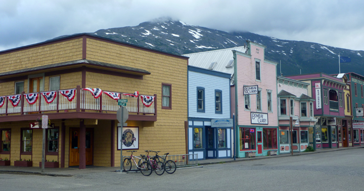
On Aug. 17, 1896 gold is discovered by Skookum Jim, George W. Carmack and Dawson Charlie on Rabbit Creek, later called Bonanza, a tributary of the Klondike River near Dawson City, Yukon. Soon thereafter steamships from Seattle, San Francisco and other ports brought thousands of gold prospectors to Skagway, Alaska where they began an arduous journey to the gold fields some 600 miles away. It took many of them a year to complete the trip only to find most of the claims already taken. By 1898 Skagway’s population boomed to nearly 10,000. Today the town promotes this history to tens of thousands of tourists annually, nearly 90% of whom arrive by cruise ship.

Skagway0556

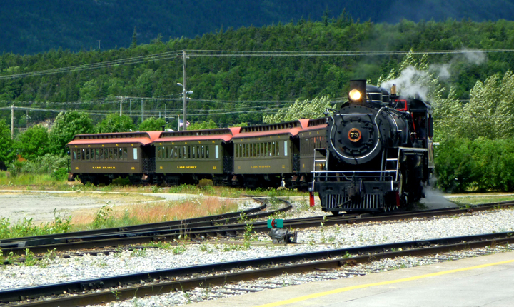
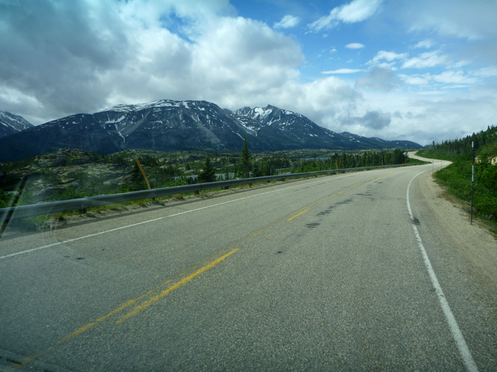
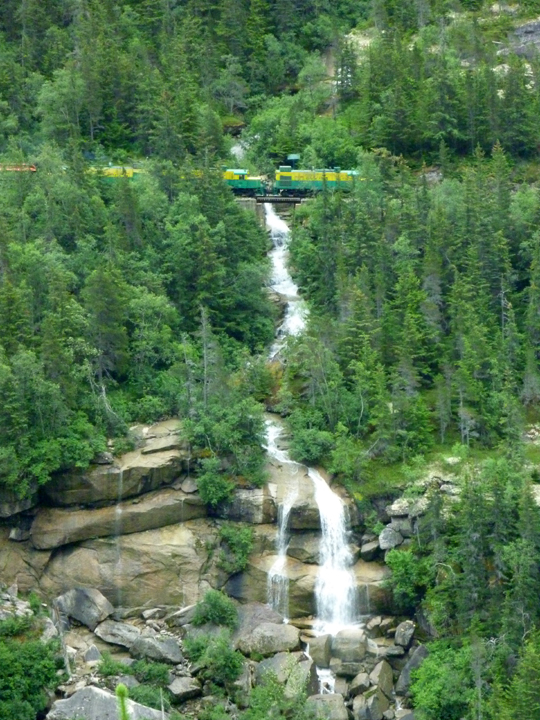
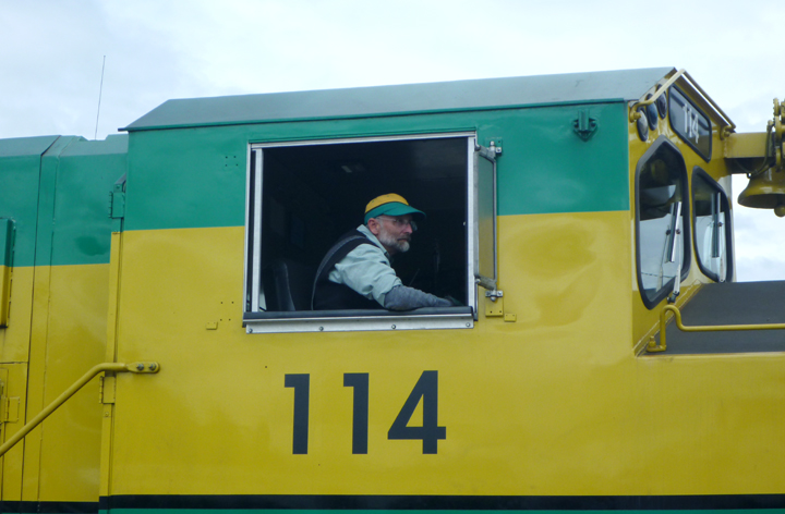
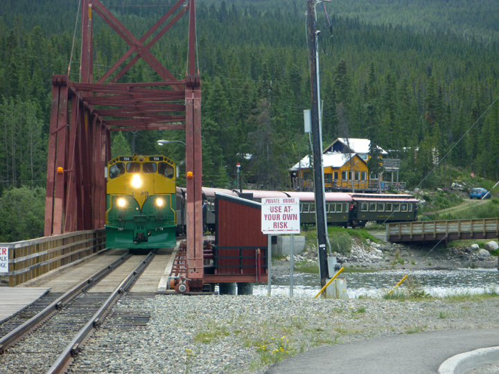
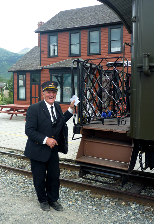
The White Pass & Yukon Railway picks up cruise ship passengers right at the dock for a scenic tour.

Skagway0597

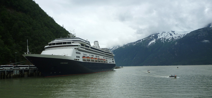
One of the smaller ships we saw docked here.

Skagway0582

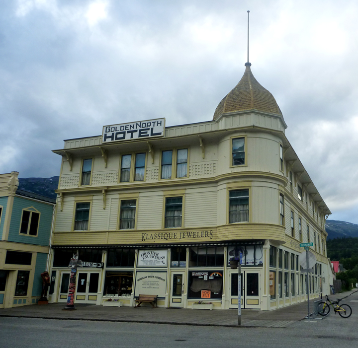
The Golden North Hotel, now home to several retail stores, started operating during the Gold Rush.

Skagway0565

Skagway0569

Skagway0573

Skagway0574

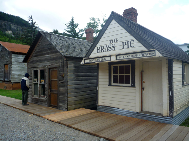
“House of Negotiable Affection” on right. During the gold rush, rows of cribs (two-room huts where the “soiled doves” plied their trade) occupied the alleys.

Skagway0575

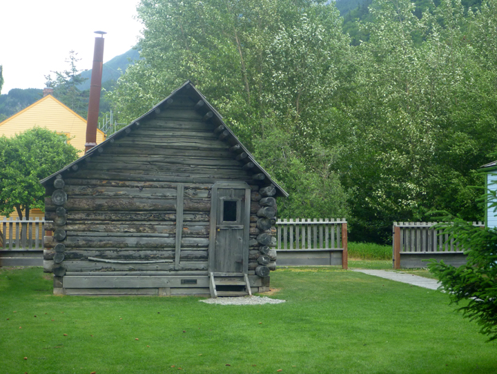
The Moore Cabin is the oldest structure in Skagway, built by Captain William Moore and his son in 1887-88

Skagway0563

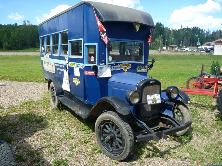
If anybody can – Al Can!

Skagway0593

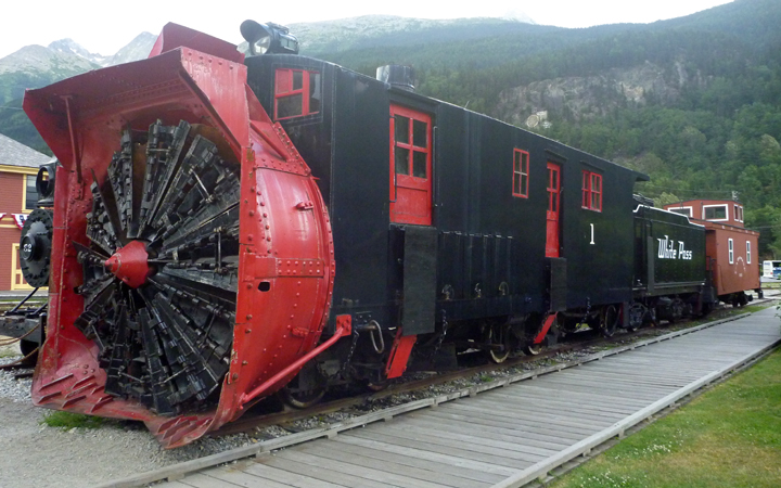
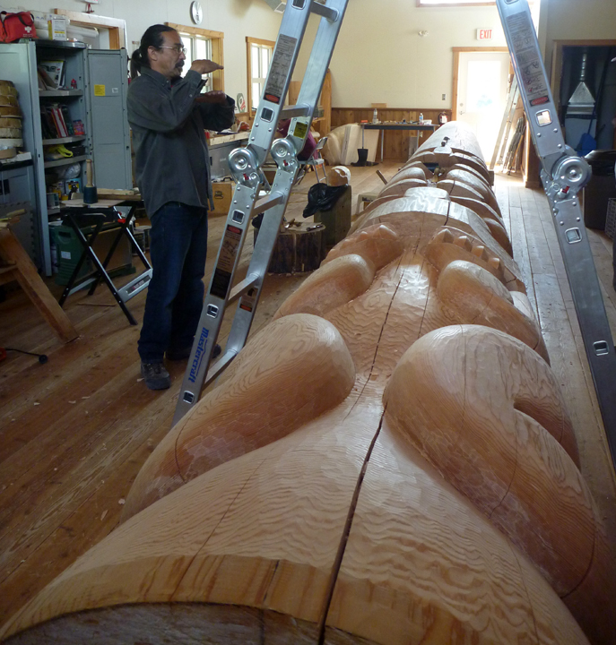
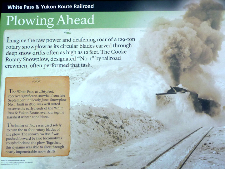
Amazing snow plow described below.
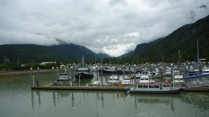
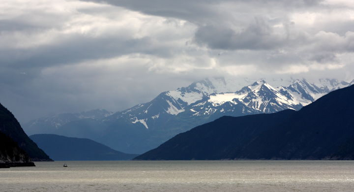
Skagway0594

Skagway0596

Small boat harbor.

Skagway0609

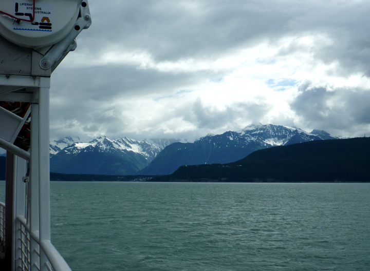
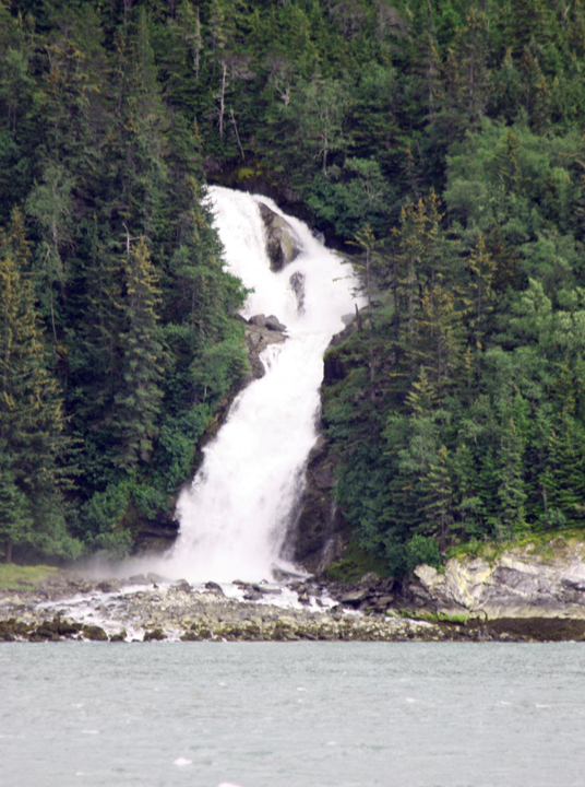
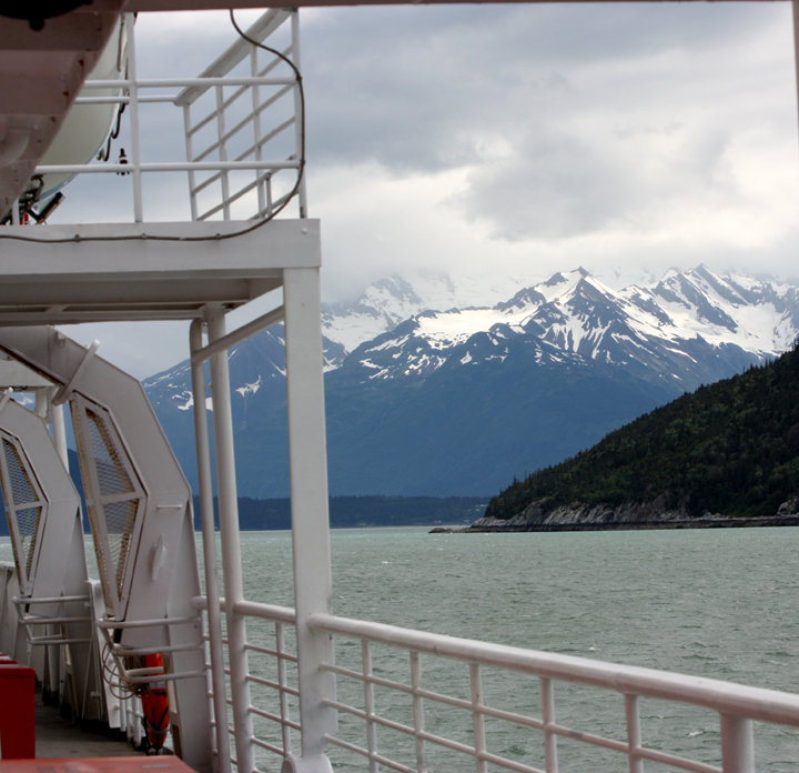
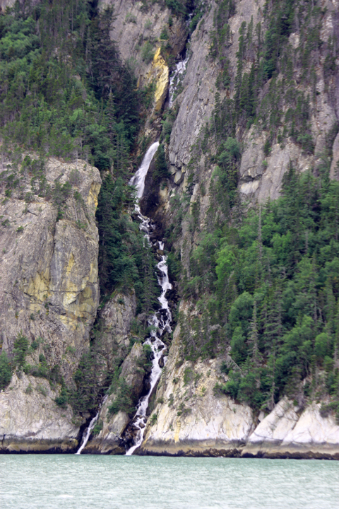
Boarding ferry for short one-hour trip to Haines.

Skagway0612

Haines0618

SkagwayFerry5909

SkagwayFerry5903

SkagwayFerry5900

SkagwayFerry5895

Haines0619

Posted by: sunnyharvy | July 7, 2015

Yukon to British Columbia to Alaska in One Day

Tagish6MileRiverResort0443

Six Mile River Resort in Tagish, Yukon

There is a lot of catching up to do here, sorry. I sincerely hope you don’t get overwhelmed as I need to compose and publish several posts to bring the blog up to date. Internet connectivity in Canada is difficult for American travelers. Today we are in Tok, Alaska where our trusty MiFi is reliably connecting us again…hurray! Tok prides itself in being “The coldest inhabited community in North America.” Average temperatures here range from -85 to +96 degrees Fahrenheit! Today it is a wonderfully mild 76 under partly cloudy skies.

Unless you’ve traveled here or decide to check a map, it will be difficult to understand how or why we could drive in two Canadian provinces and Alaska in one day only to return through the same a few days later. Hope you enjoy the ride!

We took an afternoon side trip from Carcross, Yukon to Tagish. There didn’t seem to be anything of much interest until Al caught a glimpse of this line-up of vintage outboard motors over some hedges.

Tagish6MileRiverResort0455

We entered a driveway to find the surprisingly delightful Six Mile River Resort. The photo at the top of this post shows their river front location. They have a small area for RV camping, a few cabins, what looks t be an excellent Slow Cooking restaurant (unfortunately we were not hungry), and amazing collections of stuff. We found the place enchanting and hope to return there to stay and dine someday.

Tagish6MileRiverResort0456

Tagish6MileRiverResort0454

I don’t believe this is one of the guest cabins, they appeared much more modern.

Tagish6MileRiverResort0439

Tagish6MileRiverResort0437

The next day we were back on the Klondike Highway heading south towards Skagway Alaska. The drive took us through the British Columbia – Yukon border before crossing into Alaska. Here are some of the sights we enjoyed along the way.

KlondikeHwySouth0520

Just a reminder that this is a road trip… a very LONG one at that! 27,000 miles so far.

KlondikeHwySouth0550

Pitchfork Falls with historic White Pass & Yukon Railway train crossing over (very lucky timing).

KlondikeHwySouth0510

Bove Island

KlondikeHwySouth0545

Bridal Veil Falls.

KlondikeHwySouth0542

KlondikeHwySouth0539

KlondikeHwySouth0536

Lake near White Pass Summit

KlondikeHwySouth0515

Seen on a roadside display panel. Unfortunately, the hike to see what’s left of the Gold Rush town of Lindeman is too much for us to tackle. Wonder who the town and lake were named after.

KlondikeHwySouth0522

Skagway0554

Back in the USA… a short visit for now. More later.

Almost forgot to mention that we had an exciting wildlife sighting on this leg of the trip. A bobcat was taking a leisurely stroll right next to the highway. What a beautiful beast! Decided seeing it was more important than trying to get out the camera to take a shot. Maybe next time.


Posted by: sunnyharvy | June 30, 2015

South Klondike Highway

We turned off the Alaska Highway near Whitehorse, Yukon onto the South Klondike Highway towards Skagway, Alaska.

MosquitoYT0390

This specimen lived up to Al’s greatest fear.

EmeraldLakeYT0392

Another Emerald Lake. Think this might be our third.

The town of Carcross, YT lies about halfway down this stretch of the highway. Once a hunting and fishing camp for Inland Tlingit and Tagish people, Carcross became a key stopover and supply center during the Klondike Gold Rush. We were pleasantly surprised to find more going on in this tiny town than expected.

Carcross0418

The White Pass and Yukon Railway, extending from Skagway through Carcross to Whitehorse, was completed in 1900. With the completion of the railway, Carcross became a major transportation centre. The Carcross railway station is designated under the federal Railway Station Protection Act.

Carcross0496

Carcross0475

Carcross0500

This guy truly loves his job.

Carcross0417

The S.S. Tutshi was a historic steamer that burned almost to the ground while being restored. The town made the best of a terrible situation by erecting this informative memorial around the remains.

Carcross0398

Many of the homes in the area seem pretty rustic, but all the people we came into contact with were jovial and welcoming.

Carcross0400

Carcross0421

Carcross0424

Carcross0470

Recently built area for tourists to shop, dine, and explore the culture.

Carcross0403

Carcross0406

We were lucky enough to meet Tlingit artist  Keith Wolfe-Smarch in his carving shop.

Carcross0408

His son designed and carved the mask on the right.

Carcross0428

Railroad bridge across the narrows.

Carcross0397

Carcross0486

Carcross0463

At approximately 1 square mile, The Carcross Desert is often considered the smallest desert in the world.

Carcross0461

Carcross0465

Carcross0460

Not only does Carcross have a desert, but it also has a sandy beach!

Carcross0506

I never expected to see this in the Yukon… did you?

Posted by: sunnyharvy | June 30, 2015

Walmart – Where America Camps

We have camped at Walmart a few times, but that didn’t prepare us for the scene we found at the store in Whitehorse, Yukon. Folks staying there represented many walks of life, several states, and a few foreign countries. It felt a bit like a circus!

WhitehorseWalmart0326

This is just one row of overnight “guests,” there were four more.

WhitehorseWalmart0357

Think this guy has been here for a while?

WhitehorseWalmart0355

Or this guy? Where’s his tow vehicle?

WhitehorseWalmart0338

Here’s another nice one.

WhitehorseWalmart0337

Here’s one at the other end of the spectrum. Gotta love the guy walking his dog by skate boarding too.

WhitehorseWalmart0323

Vintage, but not in a good way. Note the bucket under his leaky sewer pipe.

WhitehorseWalmart0322

And I thought campers road on the back of pick-up trucks.

WhitehorseWalmart0318

No idea why this guy needs to tow a travel trailer behind his maxi-rig.

WhitehorseWalmart0353

This Smart car housed a woman and her three dogs. I’m not kidding. Note the long horse trailer and Airstream trailer in the background too. The variety was amazing!

WhitehorseWalmart0359

These German cuties are traveling around North America for four months. Not exactly sure how they all slept inside that mini-van, but they were in good spirits around their breakfast table the next morning.

While it would have been extremely entertaining to spend a week in the Walmart parking lot, we did manage to get out to see some of the area attractions. The most interesting being the Yukon Beringia Interpretive Center. This museum explains the ancient place called Beringia, that lay between two continents on the edge of the Arctic. It was a land of ice, giant mammals and the First People of North America.

Whitehorse0360

Mammoth skeleton

Whitehorse0362

Whitehorse0363

Giant Bison

Whitehorse0364

Al learned how to use a dart launcher. Did a pretty good job too. right after he chucked this one a real red fox came out from the brush.

Whitehorse0367

Whitehorse0376

This DC-3 in front of The Yukon Transportation Museum is actually a working weather vane.

WhitehorseMilesCanyon0384

Before heading out we took a short hike at Miles Canyon.

WhitehorseMilesCanyon0380

Whitehorse0369

I included this poster just because I like it.

Posted by: sunnyharvy | June 23, 2015

Signs, Signs, Everywhere Signs

WatsonLake0248

As far as we could see, the only attraction worth visiting in the town of Watson Lake, Yukon is the Sign Post Forest. We also visited the Northern Lights Space and Science Center, but that is definitely not something to write home about.

WatsonLake0253

In case you can’t read the copy in the photo above, the Sign Post Forest was started by a homesick GI in 1942. Today it takes up a couple of acres, with huge new panels snaking through the trees being constantly added. There are street signs, welcome signs, signatures on dinner plates, and license plates from around the world.

WatsonLake0252

Can you believe somebody would carry this huge directional sign all the way from Martha’s Vineyard, Massachusetts to display it here?

WatsonLake0250

WatsonLake0254

Another “German Assault Vehicle,” as I have decided to call them.

RancheriaFallswithiPad

Rancheria Falls – short hike to stretch our legs after a few more hours of driving.

TeslinLakewithiPad2

Camped for the night overlooking Teslin Lake. We must have picked the best campsite as several other visitors brought their cameras over to take photos.

AlaskanHwy0305

Yes, that is a bicyclist traveling the Alaska Highway. There are not many as this is a LONG difficult road with hundreds of miles between accommodating places to stop for the night. 

AlaskanHwy0293

These vehicles are a few of the thousands left behind after World War II.

AlaskanHwy0292

AlaskanHwy0291

AlaskanHwy0289

Whitehorse0317

This campground in Whitehorse, YT had almost everything one could want (except Hot Springs). It had a unique community feeling to it too, which was probably because it was primarily for tent campers who are always more sociable than RVer. Unfortunately, the traffic noise was so bad that we left after one night.

Whitehorse0315

Whitehorse0314

Hippy Yuppy Coffee Shop, Ice Cream Parlor, and Campground Office.

Posted by: sunnyharvy | June 20, 2015

The LONG Road to Alaska

DawsonCreek0122

It all begins at “Zero Mile” in Dawson Creek, British Columbia, Canada.

DawsonCreek0123

The story of the building of the Alaska Highway (formerly referred to as the AlCan) is an interesting one that we are growing more familiar with all along its route. We began our education at the visitor Center in Dawson Creek. There is also an interesting museum dedicated to telling the story at the Alaskan Highway House.

KiskatinawRiver0132

Our first day on the highway only got us 17 miles out of Dawson Creek, but that’s because we wanted to experience a bit of the original highway where the only original timber bridge is still in use. The Kiskatinaw is a three span, timber truss structure built 30 metres (100 feet) above the stream. We hiked below it to view the details. 

KiskatinawRiver0130

KiskatinawRiver0128

KiskatinawRiver0134

Al relaxing in our campsite below the bridge.

KiskatinawCG0135

One of our neighbors. This type of vehicle seems to be favored by many Germans who ship them over to tour North and South America. They do look pretty cool, bu there are not enough windows for me. They probably burn a lot of fuel and ride rough too.

KiskatinawBridge0145

We walked and drove across the next morning.

KiskatinawBeaverDams0146

Beavers build big dams around here!

Taylor0149

Mid-morning coffee stop in Taylor. Great “Power Bites” too. Home baked mini-muffins made with lots of seeds, oatmeal, and other good stuff.

Taylor0151

“The World’s Biggest Golfball” seems like a stretch to me. Also in Taylor.

AlaskaHwy0157

Sometimes it feels like the road goes on forever… and at other times unexpected roadside amusements appear.

AlaskaHwy0165

FortNelson0166

FortNelson0167

FortNelson0168

FortNelson0170

I did not realize that pipes could be made of wood.

BeaverLake0175

Sometimes when you follow rugged side roads like this, you are rewarded with a free lakeside campsite.

BeaverLake0172

Fishing float at Beaver Lake.

AlaskaHwy0163

Back on the road again to discover surprises of a different sort.

AlaskaHwy5867

Stone Sheep.

AlaskaHwy5873

AlaskaHwy5881

Actually saw quite a few mother bison with calves, but this was the best photo I managed to take as we drove by.

LiardHotSprings0226

After four days on the Alaskan Highway our reward appeared at the end of this boardwalk.

LiardHotSprings0227

Liard Hot Springs  – right in the campground!

LiardHotSprings0235

LiardHotSprings0241

LiardRiver0245

The Liard River

AlaskaHwy0160

And the road goes on and on and on and on…

« Newer Posts - Older Posts »

Categories