Posted by: sunnyharvy | June 6, 2014

Beating the Heat at Zion

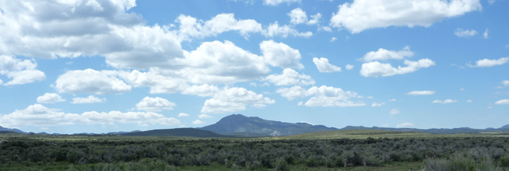
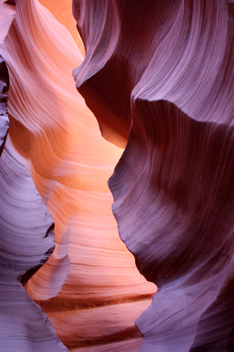
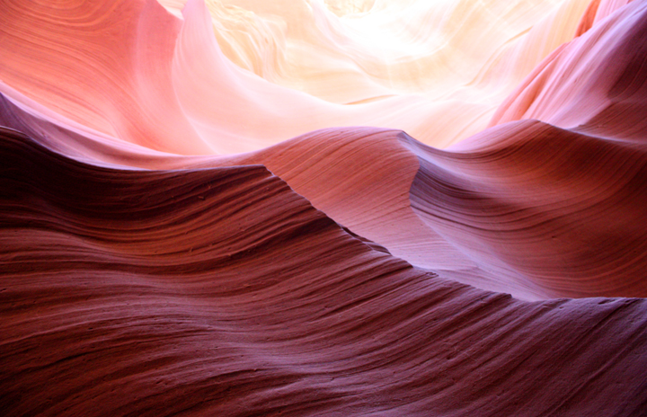
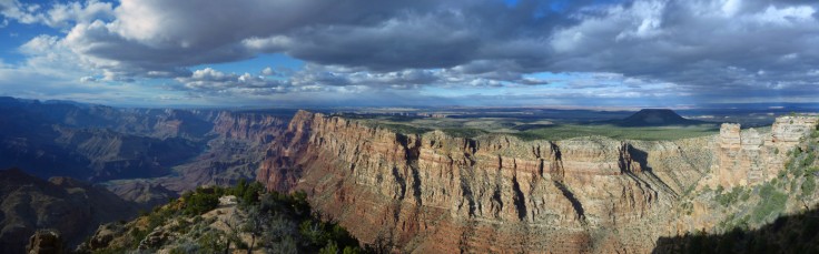
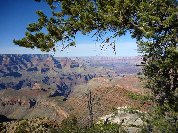
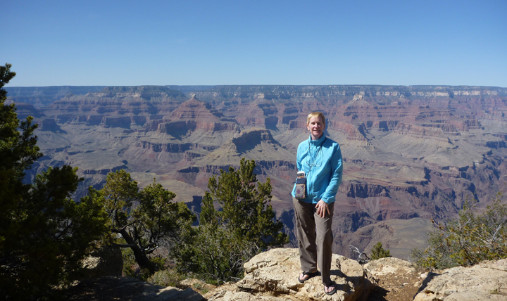
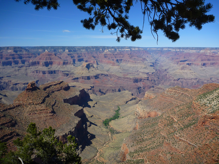
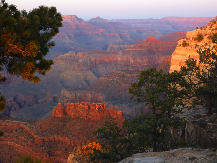
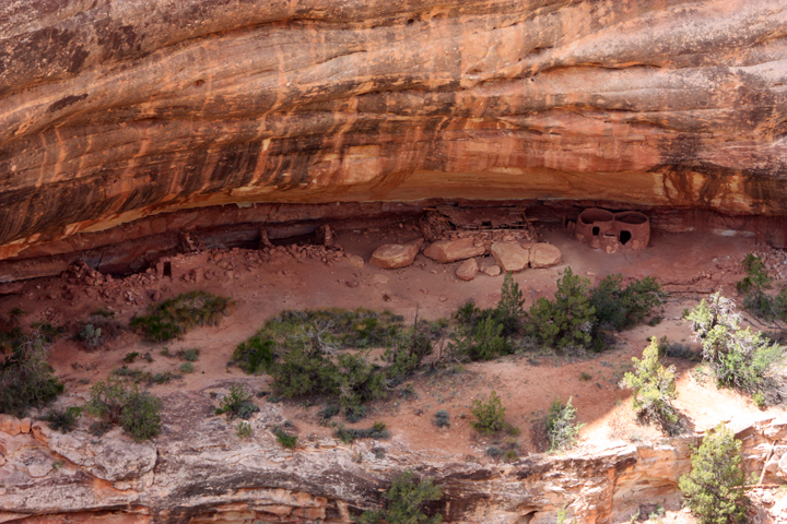
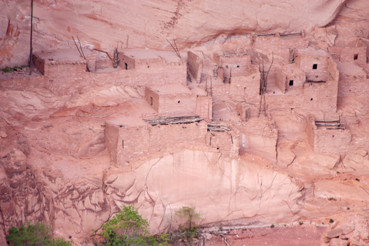
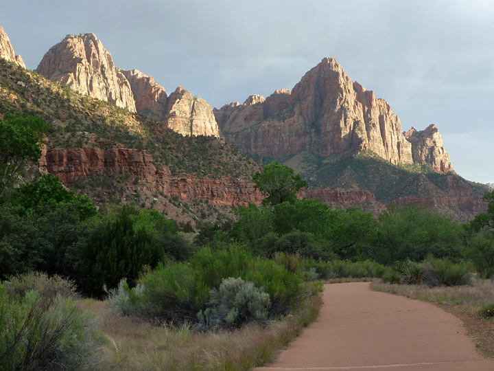
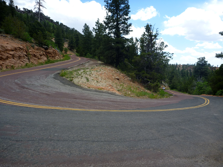
We enjoyed Grand Canyon from the rim above. At Zion National Park we got a very different perspective as we traversed the canyon bottom. Our necks got sore from looking WAY up all the time, but the views were definitely worth it! Those incredible vistas began presenting themselves as we drove towards the park from the east on the Zion – Mt. Carmel Highway.
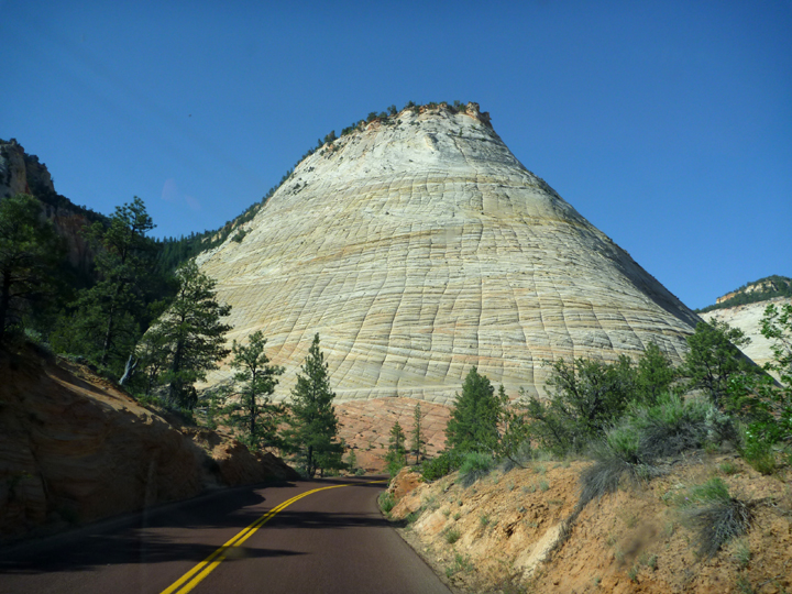
Zion0397

Checkerboard Mesa

Zion0406

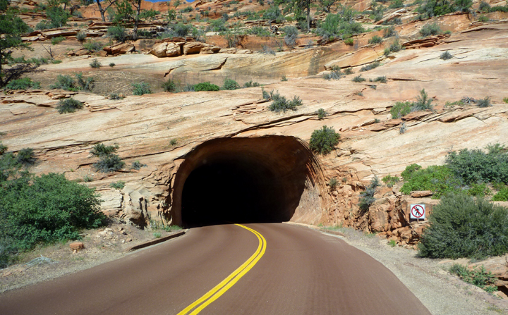
Amazing 1.1 mile long tunnel…

Zion0410

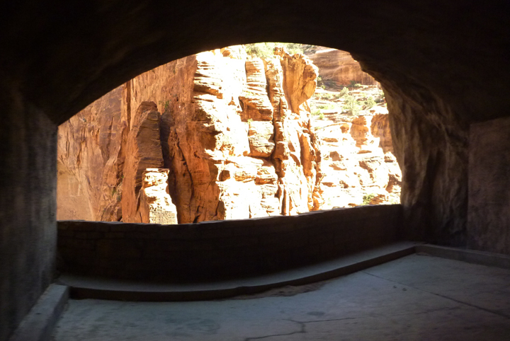
that even had view windows!

Zion0505

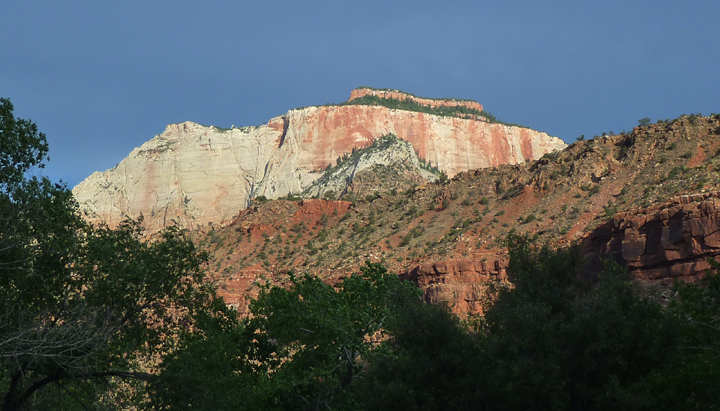
The West Temple, highest point in the park.

Suddenly it’s summer! It was very hot when we arrived (and remained so throughout our 4-day visit), so we sought less strenuous activities. On our first afternoon we toured both the Visitor Center and Human History Museum, where we watched a very informative and entertaining video about the park’s geology and thousands of years of human presence here. Later that evening we took a fascinating shuttle tour with a ranger who took us to some less frequently visited areas.

Zion0463

Zion0508

Zion0498

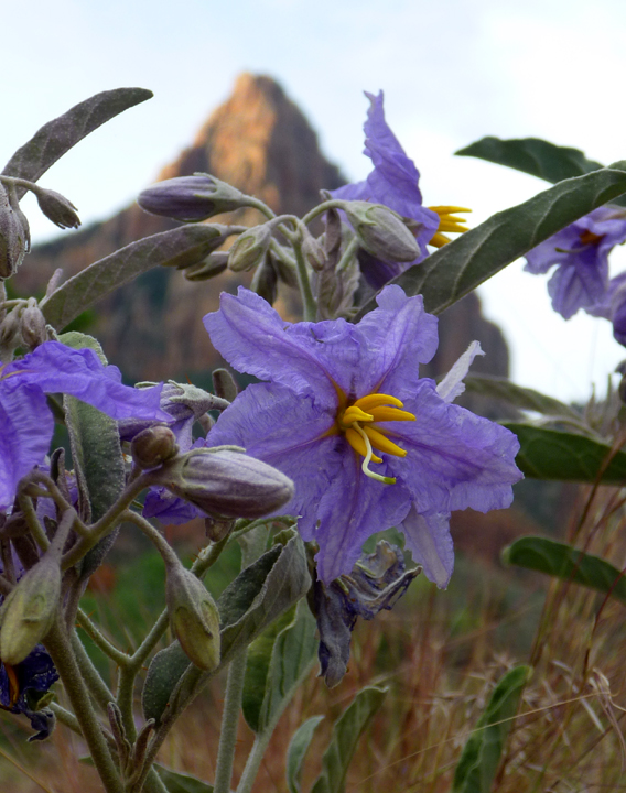
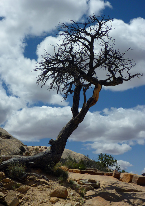
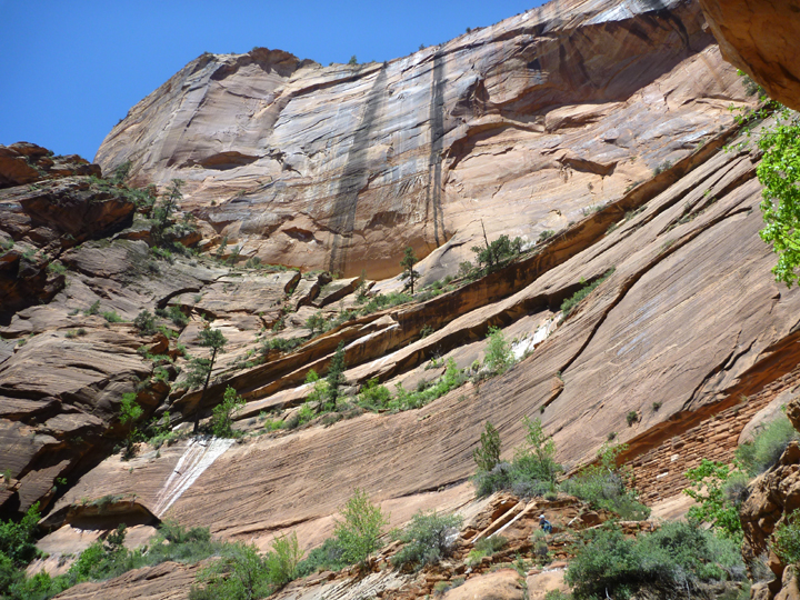
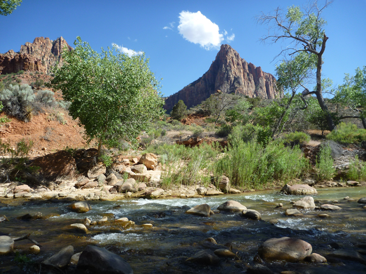
I snapped this shot during a morning walk.

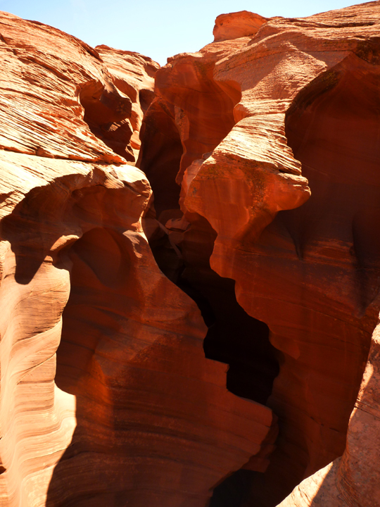
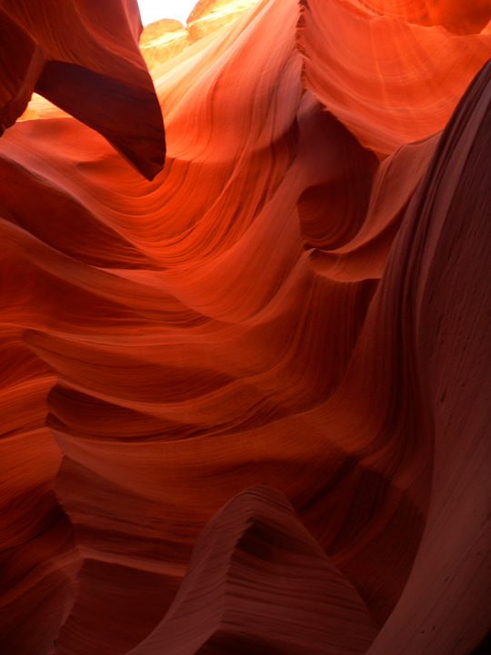
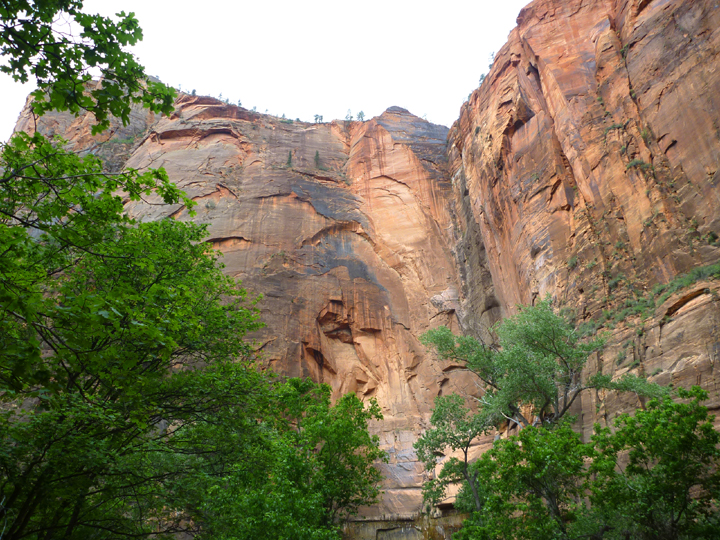
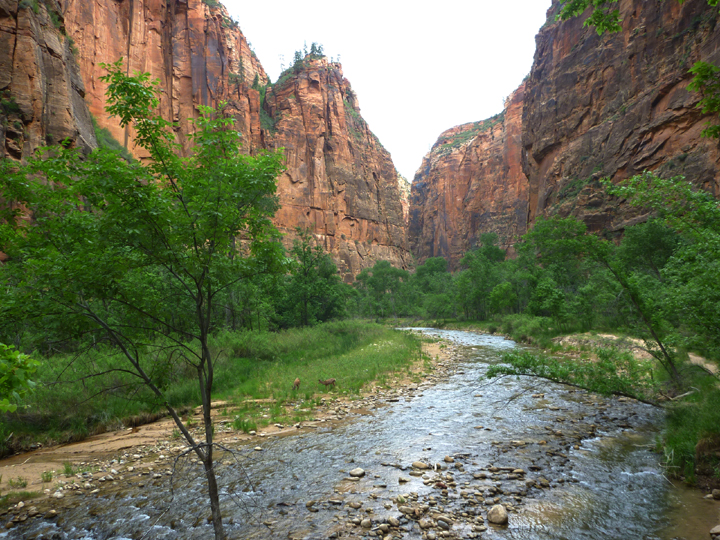
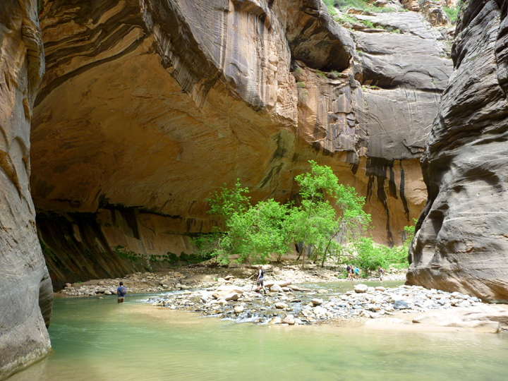
The Virgin River has carved a spectacular gorge in the upper reaches of Zion Canyon – 16 miles long, up to 2,000-feet deep, and at times only 20 to 30-feet wide. A section of this gorge, referred to as The Narrows, displays soaring walls, sandstone grottos, natural springs, and hanging gardens. Our hike, a few miles up and back, much of which was actually in the river (hiking stick and kayak boots mandatory), proved spectacular and refreshing, as the temperature in the tall, narrow gorge was 15 to 20 degrees cooler than down in the canyon proper.

Zion0512

The hike begins with the Riverwalk, which is paved and accessible to all.

Zion0548

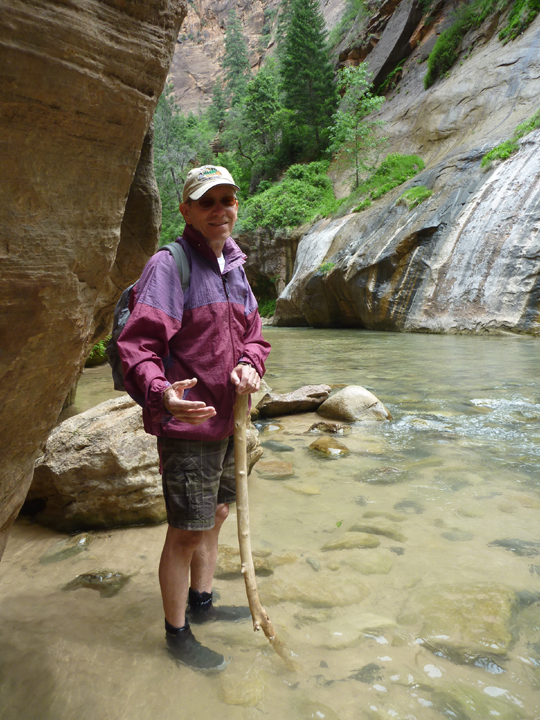
Once the pavement ends, you have to get your feet wet.

Zion0560

Zion0567

Zion Narrows Hike 2VL

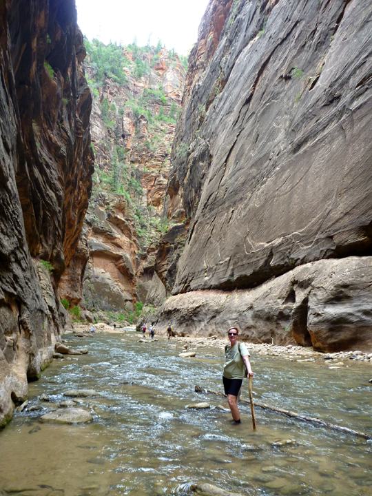
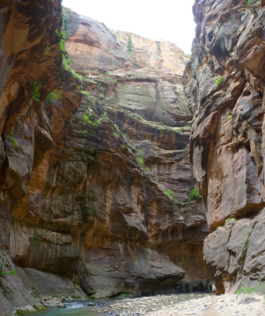
To provide scale, that’s me in the lower right corner…!

Zion0616

We rode our bikes along the Pa’rus Trail at sunset.

ZionKolobTerrace0642

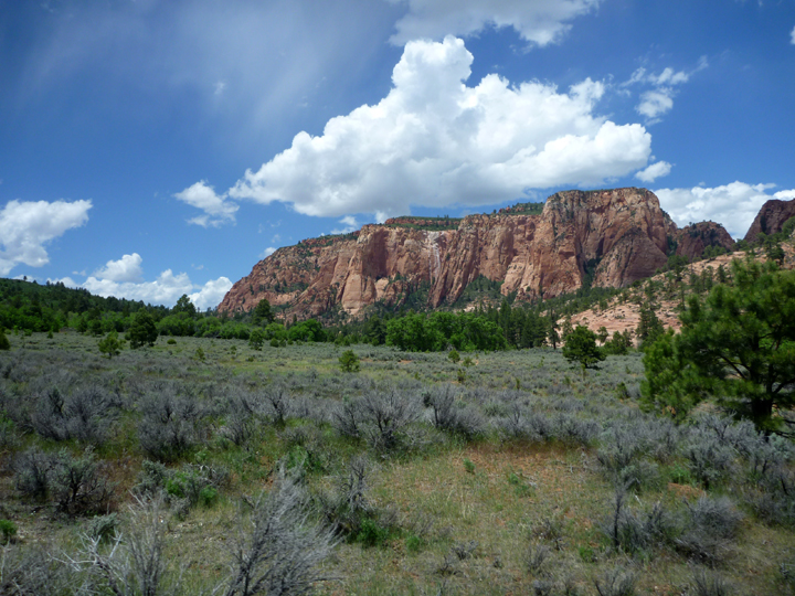
And took a driving tour to higher (cooler) altitudes on the Kolob Terrace Road.

ZionKolobTerrace0648

ZionKolobTerrace0649

ZionWestRimTrail0676

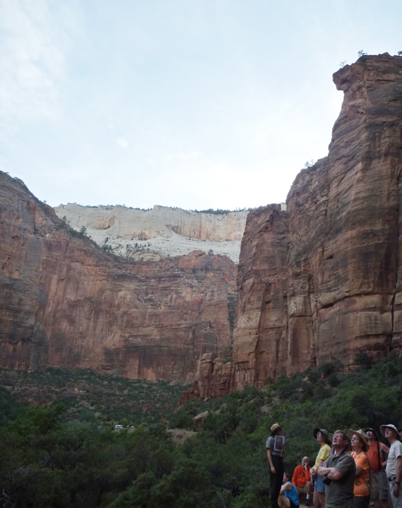
We hiked a bit of the West Rim trail (Can you see it zig zaging across the rock face above?), but we didn’t last long in the heat.

ZionWestRimTrail0681

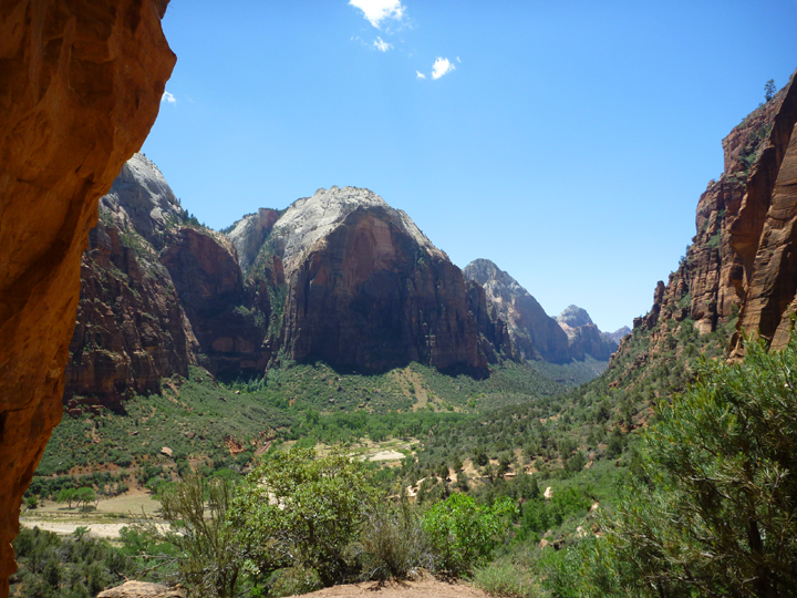
We did hike far enough to savor this canyon view.

ZionVirginRiverBeach0705

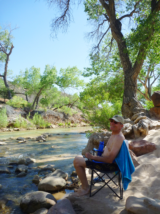
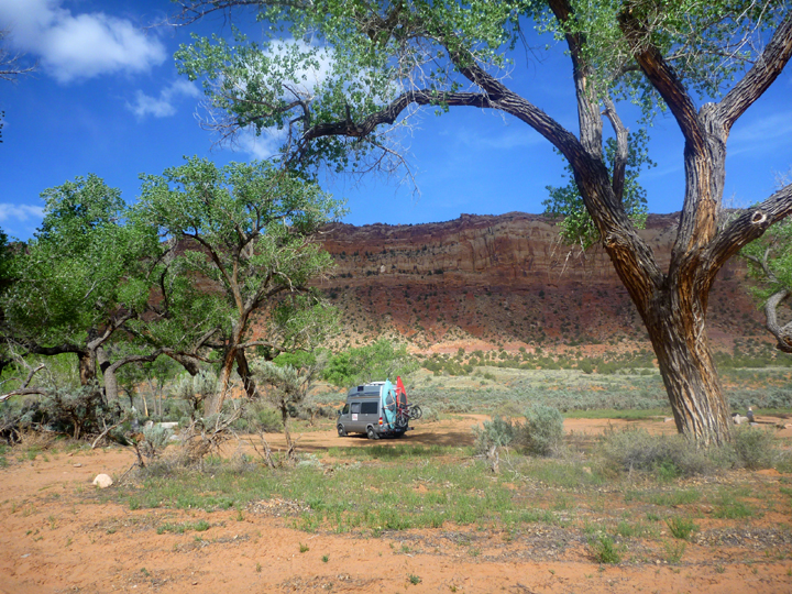
Then we spent the rest of the afternoon relaxing on the beach along another section of the Virgin River that runs right behind the campground.

ZionVirginRiverBeach0707

The view from my beach chair.


Posted by: sunnyharvy | June 1, 2014

No Pain in Panguitch

We went to Panguitch, Utah to have some maintenance work done on haRVy. That got completed efficiently on the Friday before Memorial Day weekend. Rather than fight the holiday crowds at Bryce or Zion, we decided to stay in this friendly small town.

Panguitch0343

This shop offered vintage cowboy boots, hats, spurs, and more.

Panguitch0352

The annual Western Round-Up included a town-wide yard sale.
I got a pedicure and hair cut at Rumours Salon and we both enjoyed delicious blueberry muffins from Little L’s Bakery.

Panguitch0353

“Red Hot Antiques” are offered at the old firehouse.

Panguitch0350

Shady characters…

Panguitch0357

Lookin’ to rob the local bank…

Panguitch0358

Trying to make their getaway…

Panguitch0373

Getting their just rewards.
This mock bank robbery was part of the Round-Up as well as a Little Britches Rodeo that we also attended.

Panguitch0383

Our campground wasn’t too great, but the price was right and the surrounding scenery pretty nice.

Panguitch0386

Panguitch0390

Panguitch0379

Some things you just gotta do yourself. Here Al is changing the oil in haRVy’s generator at the campground.

PanguitchGEM

We spent a couple of afternoons here at the GEM for delicious lunches, house-made ice cream, Internet access, and a viewing of the movie War Horse, which was part of their Memorial Film Festival of war movies.

PanguitchGemLeslie

Panguitch0368

A couple more colorful locals.

Panguitch0351

Panguitch0348

If you have any antlers you’ve been trying to sell, you now know where to go!

Posted by: sunnyharvy | May 23, 2014

Amazing Antelope Canyon by Land and by Lake

We spent a few days in the Page, Arizona/Lake Powell area on our way to Panguitch, Utah to get some 80,000 mile maintenance work done on haRVy. We didn’t expect to need to do this so soon, but we’ve put on 11,000 (!) miles since leaving Rhode Island in early October so it’s time.

As avid photographers, a visit to Antelope Canyon was high on our “To Do” list and it did not disappoint. The canyon is the most-visited and most-photographed in the American Southwest. There are several tour options available and we chose a guided walking tour of the slightly less visited Lower Antelope Canyon.

AntelopeCanyon0104

The entrance is via a steep stairway down into this narrow opening.

AntelopeCanyon4774

Our knowledgeable Navajo guide leads us through the narrow slot canyon.

AntelopeCanyon4753

The light and colors are amazing.

AntelopeCanyon4715

AntelopeCanyon0198

AntelopeCanyon4784

AntelopeCanyon0131

AntelopeCanyon4798

AntelopeCanyon0136

AntelopeCanyon0252

Climbing out the exit at the opposite end.

We just couldn’t leave the area without getting out onto Lake Powell, so the next day we took a boat ride into the section of Antelope Canyon that was flooded when they built the Glen Canyon Dam that created the lake back in the 50’s.

AntelopeCanyonBoatride0304

Turning into Antelope Canyon from Lake Powell.

AntelopeCanyonBoatride0310

AntelopeCanyonBoatride0317

We were told that the “beach” is just beyond here where our boat had to turn around.

AntelopeCanyonBoatride0325

These kayakers lend scale to the landscape.

LoneRock0027

We spent one night here at Lone Rock beach.

LoneRock0024

That tour boat is about 80-feet long, so that rock is HUGE.

We also hiked out for a look at Horseshoe Bend on the Colorado River just below the dam.

HorseshoeBend0077

HorseshoeBend0072

HorseshoeBend0092

See ya next time from beautiful downtown Panguitch!

Posted by: sunnyharvy | May 22, 2014

End to End on the South Rim Part 2

YavapaiPoint0820

This photo was supposed to appear in last post. It was taken at Yavapai Point.

RimRiding0931

Our GRAND Canyon adventure continued with a day spent riding the rim on our bicycles. Let me tell you that it was an exhilarating (and exhausting) experience I will not soon forget. The photo above shows how close to the edge (and 5,000-foot drop-off) one is allowed to ride.

RimRiding0877

RimRiding0876

RimRiding0882

RimRidingLunchSpot0924

Snack break  – nice view, eh?

In the morning we biked the rim trail from the Visitor Center to the South Kaibab Trail and back. I also hiked down the trail a bit to see what it felt like to go below the rim. Here’s a glimpse of what that extremely steep trail looks like. It is wider than most because this is where the mules carry people down to the bottom.

SouthKaibabTrail0888

SouthKaibabTrail0889

After a brief break for lunch we were off again in the opposite direction. We took the bikes on the shuttle bus for a ride up to Monument Creek and peddled out to Hermit’s Rest (the west end of the road) and then all the way back down to Grand Canyon Village. We thought the ride back would be mostly downhill, but that impression proved incorrect. Luckily the incredible scenery kept our minds occupied as our legs did all the work.

HermitsRest0974

HermitsRest0972

Mary Colter designed this building as well as the Watchtower featured in my last post.

HermitsRest0966

The grand fireplace inside Hermit’s Rest

RimRiding0933

Stretching my legs

RimRiding0932

What a day! Our last in this grand location.

Posted by: sunnyharvy | May 19, 2014

End to End on the South Rim Part 1

The Grand Canyon is everything they say it is and so much more!

Here’s our first glimpse upon arriving at Desert View just inside the entrance on the East End of the South Rim.

DesertViewFirstGlimpse0576

There is absolutely no way anyone can truly capture the grandeur of this amazing place, but we sure did try! Here is a sampling of the hundreds of photographs we shot.

Watchtower0616

Desert View Watchtower designed by Mary Colter an amazing architect who was way ahead of her time.

Watchtower0683

Watchtower0593

Some of the traditional Indian art she commissioned for the walls inside the tower.

DesertView0660

The Colorado River making its way through the canyon.

DesertViewSunset0685

Sunset at Desert View

On our third day we ventured a big further west on the rim to a few of the other lookouts as well as the Tusayan Ruins and Museum.

LipanPoint0707

Lipan Point

cropped-pm-desert-view-right-l3.jpg

Navajo Point panoramic by Al – click on image to see larger version online.

GrandView0766

Grandview Point – aptly named, wouldn’t you agree?

The eastern end of the rim is much quieter and less busy than the central village area, which we really appreciated during our three night stay. However, we did eventually join the masses in the heart of Grand Canyon Village. Most visitors come into the park through the South Entrance, go directly to the Visitor Center and out to Mather Point for their first (and often only) view of this truly GRAND canyon. Here’s a typical tourist photo of that view.

MatherPoint0811

VillageView0858

Another view from the Grand Canyon Village area

Once we got situated at our new campground we were off on the Park Shuttle to Hopi Point to witness the sunset and full moon rise. Again, very difficult to capture in photos, but we did the best we could.

HopiPoint0830

HopiPoint4678

Stay tuned for Part 2 of our GRAND Canyon adventure.

Posted by: sunnyharvy | May 12, 2014

Bridges, Monuments and More Ruins

As we came over a rise in the road on our way to Natural Bridges National Monument in Southeastern Utah, we looked down upon a pretty camping area that we had not seen noted on any maps. There were just a few campers parked under an grove of old cottonwood trees. This turned out to be our first experience camping on Bureau of Land Management (BLM) land, which is free for all to use with some restrictions. Most BLM land camping requires a lengthy drive down dirt roads, but this area is quite accessible. We enjoyed an afternoon hike and quiet evening here.

NaturalBridges0385

Love this classic little Shasta trailer!

NaturalBridges0381

 No crowds at this campground!

NaturalBridges0375

The gap you see in the photo above is where the road comes through Comb Ridge, a linear north to south-trending monocline that stretches for nearly 80 miles through Utah and Arizona. We first viewed our campground when we came through that gap and didn’t even notice the ridge until we were camped.

The next morning we were lucky enough to grab the last of just 13 campsites at Natural Bridges. We then had a fabulous afternoon on the 9-mile drive to view the three featured natural bridges via some fantastic hiking trails.

NaturalBridges4594

Sipapu, the most mature, highest and greatest in span of all three bridges is somewhat difficult to spot from the overlook despite its mass.

NaturalBridges0493

Owachomo Bridge is the oldest and most fragile.

NaturalBridges0456

Young Kachina Bridge looms big and bulky.

NaturalBridges0469

NaturalBridges0464

NaturalBridges0444

NaturalBridges0414

I’d like to thank the folks who made these amazing hikes possible.

NaturalBridges4605

As if natural bridges aren’t enough of an attraction, there are some ruins here as well. Horsecollar Ruin is reportedly one of the best-preserved ancestral Puebloan sites in the area. Named because the doorways to two structures resemble horsecollars, the site was abandoned more than 700 years ago. Its remarkable state of preservation, including an undisturbed kiva with the original roof and interior, is likely due to the isolation of Natural Bridges: few visitors ever made the journey down these canyons.

The next day we visited Monument Valley, where many western movies have been filmed. The Navajo’s know they’ve got a good thing going there and charge $20 per carload to enter. We had lunch overlooking the tremendous rock formations, but it was too windy and dusty to hike, so we only spent a couple of hours. Some of the best scenery can actually be seen driving toward the valley from the north.

MonumentValley0532

MonumentValleyMexicanHat4619

This formation is called Mexican Hat and I’m sure you can see why.

MonumentValley4631

MonumentValley0544

Obligatory tourist shot at Monument Valley.

Moving further southwest, back into Arizona (again), we visited Navajo National Monument where we spent two nights at a fabulous free campground. What a contrast from the $40 camping fee (plus $20 entry) at Monument Valley! There you got a patch of dirt in the middle of a dust bowl, while here we got a lovely flat paved site in a Pinyon Pine and Juniper forest. Our days were spent mostly kicking back, but we did do a couple of very scenic hikes above the beautiful canyon and viewed some (more) ruins. The quantity of canyons in the southwest is astounding and almost every one of them offers a different sort of geology.

NavajoNatlMonument0562

NavajoNatlMonument4642

These ancient Puebloans scored big time when they found this south-facing alcove for their community.

NavajoNatlMonument4637

Rangers give guided tours of these dwellings, but we were a couple of weeks too early in the season. This photo was taken with my telephoto lens from a viewpoint above.

I will now sign off with a couple of nature photos that I hope you find pleasing.

NaturalBridges0420

NaturalBridges0432

« Newer Posts - Older Posts »

Categories